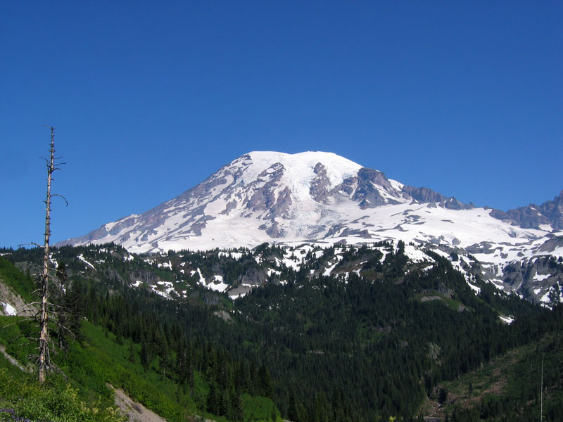
After realizing last year that the window of ideal conditions for hiking is smaller than I’d initially thought, I’ve been making an effort this summer to take advantage of sunny weekend days. Yesterday the forecast on Mount Rainier looked incredible (sunny, warm, calm wind) and I figured it was as good a day as any to take a preview hike part way up the mountain. It would’ve been a gorgeous weekend for summiting as well, but you can’t climb solo without special permission, and I’ve yet to find any takers around here who want to rope up and run up this behemoth. You can however hike all the way to Camp Muir (elevation 10188 ft), still 4000 ft below the summit, but a strenuous hike up 4700 feet from the Paradise parking lot nonetheless.
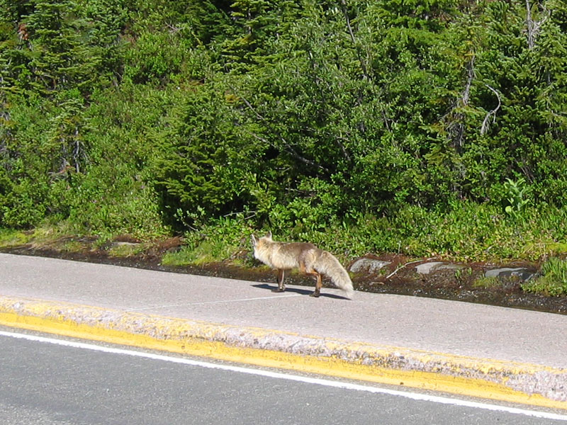
I took off from Yakima right around 8 am, rolled into Rainier National Park ninety minutes later, and wound my way up toward Paradise for another thirty minutes. The views of Mount Rainier heading in are a bit of a visual overload. It simply dominates the horizon. The picture on the left was taken inside the park as I drove up toward Paradise. The fox on the right was casually trotting down the sidewalk.
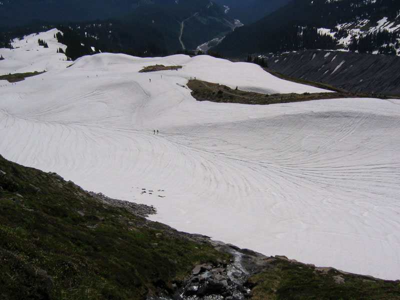
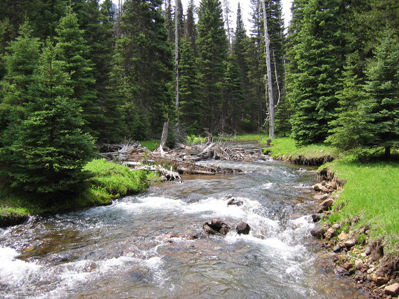
Paradise sits at elevation 5400 and is home to a gigantic parking lot, a hotel, and lots of people. I stayed long enough to use the bathroom, then sprinted toward the trail. Given the 1000 inches of snow that fell in the park this winter, much of the trail is still covered by deep hardpack. The snow is well-traveled though and flagged at least part of the way up. I started out in shorts and a t-shirt but was still pouring sweat after a half hour of hiking, to the point where it was dripping off my eyebrows and splashing inside my sunglasses.

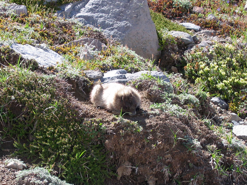
The animals at Rainier seemed to have accepted the human invasion of their turf. This marmot was just munching away a few feet away from the trail even as people walked by. I also later had another fox cross my path about thirty feet in front of me. From the picture on the right, you can get a feel for the number of people out and about on a gorgeous summer weekend. That said, walking away from the trail even a few minutes could put you on a part of the mountain where you’d think you had the whole place to yourself.

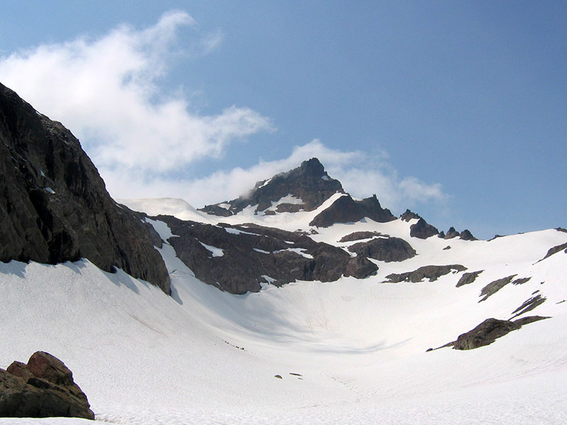
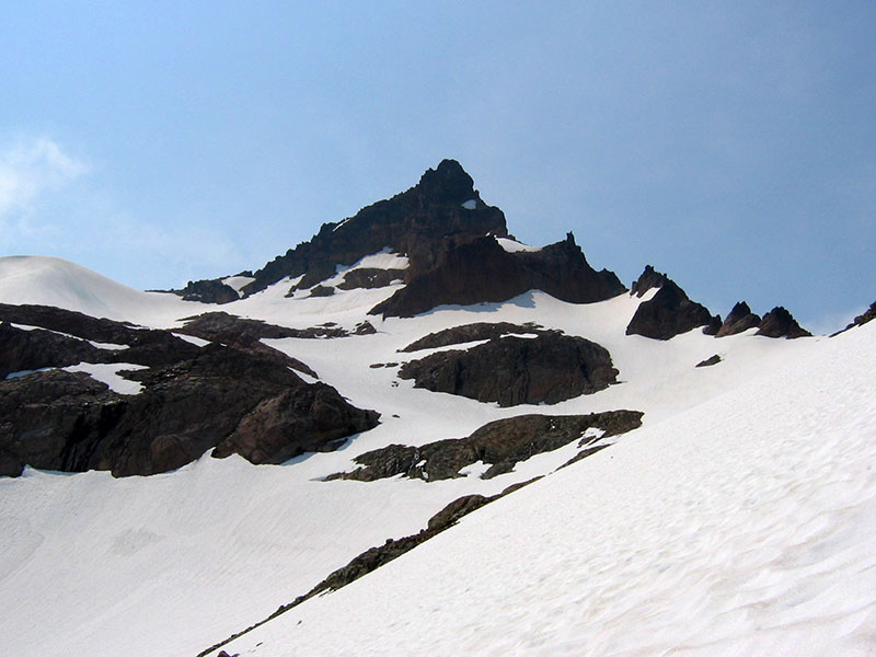
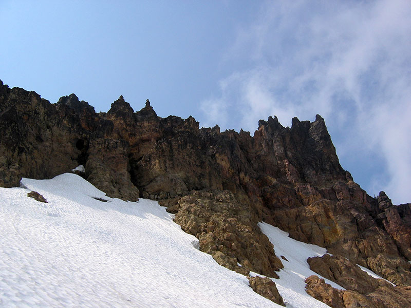
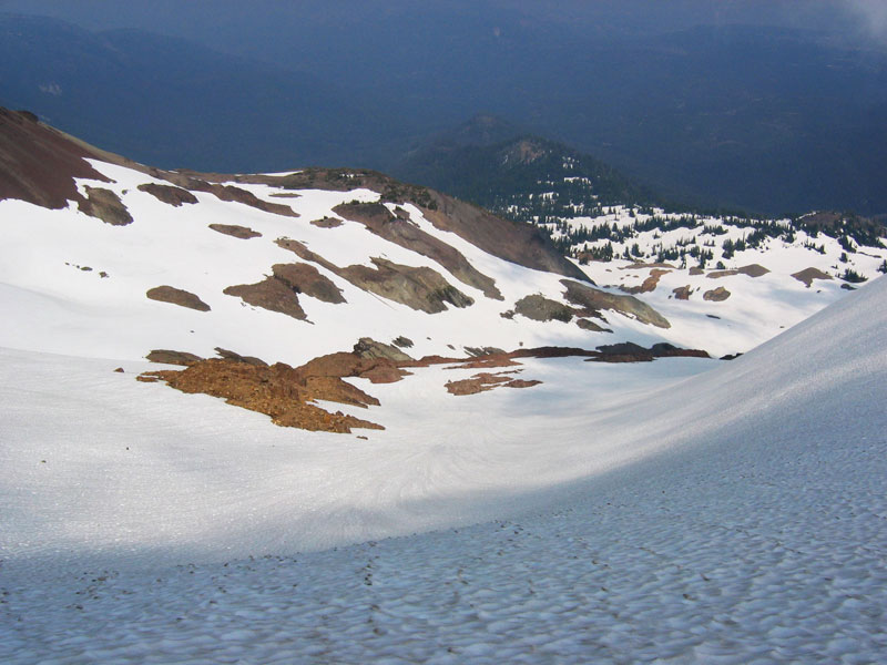
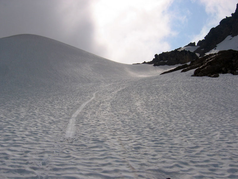
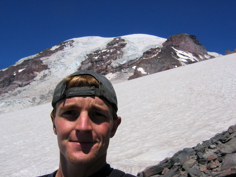
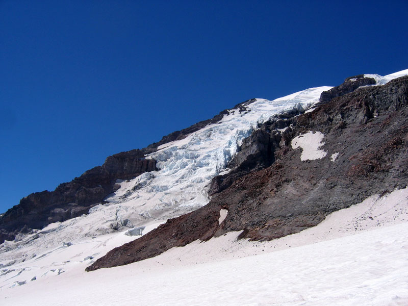
Left: Nisqually Glacier slumping down the slope and Gibraltar Rock. Right: Gibraltar Rock again and a first peak a shelter at Camp Muir. Pretty straightforward snow hiking, with snow steps already kicked the whole way up. I stopped every once in a while to chug some grape Powerade or glance back at my surrounding, but for the most part I just found a rhythm and worked on picking off the hikers in front of me. I changed into a long sleeve shirt part way up the Muir Snowfield.

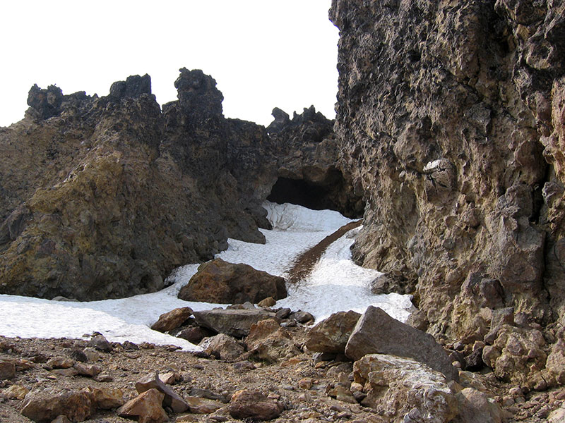
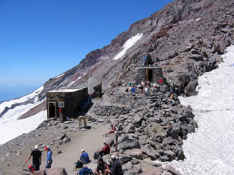
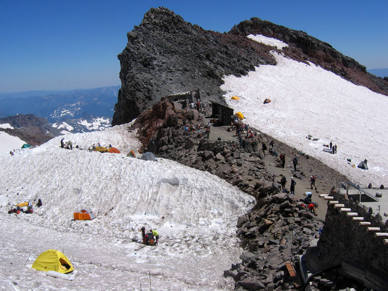
I was working hard and reached Camp Muir after two and a half hours, which felt pretty quick to me (averages out to about 940 feet of elevation gain every thirty minutes). Of course, I later read that someone set the Mount Rainier speed climbing record the same day I was out, making it from Paradise to the summit and back in 4 hours and 49 minutes. That’s flying. Camp Muir is the usual launching point for a summit attempt (breaking camp around midnight to hit the summit around sunrise) and it was bustling with climbers enjoying a rare day of calm winds. There are a couple of permanent shelters constructed at Muir, but most people end up digging out a level spot for their tent in the snow.
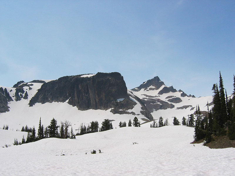
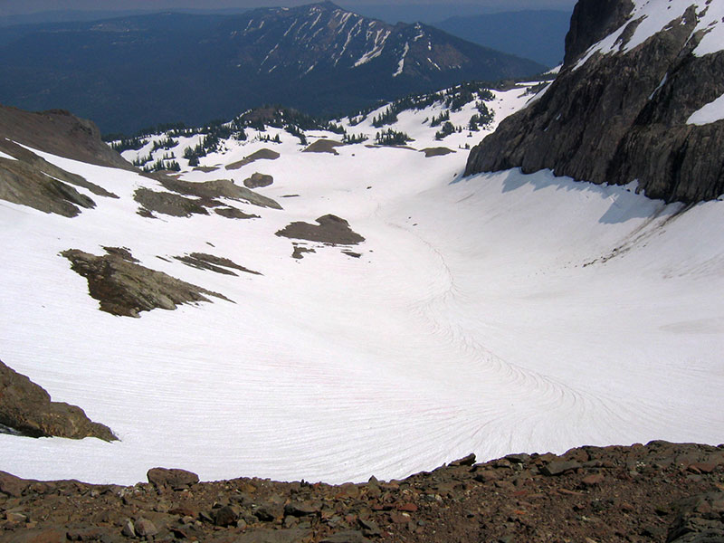
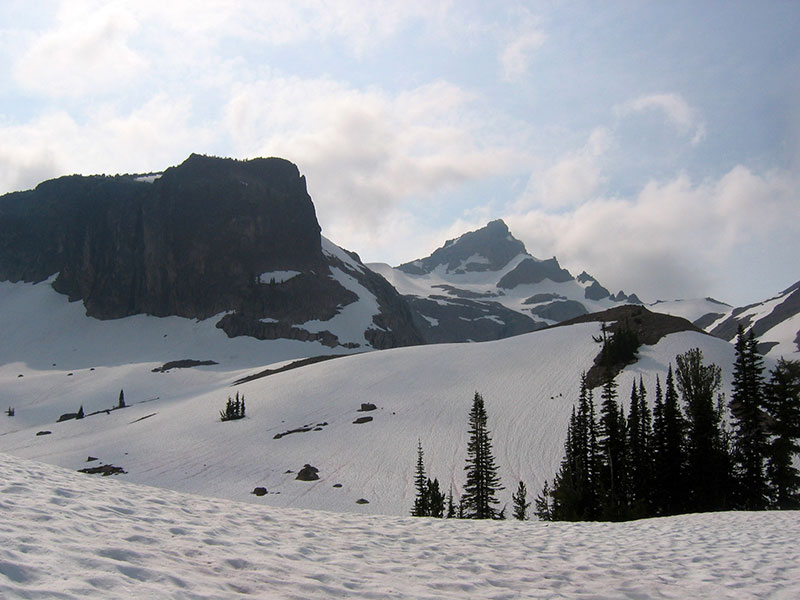
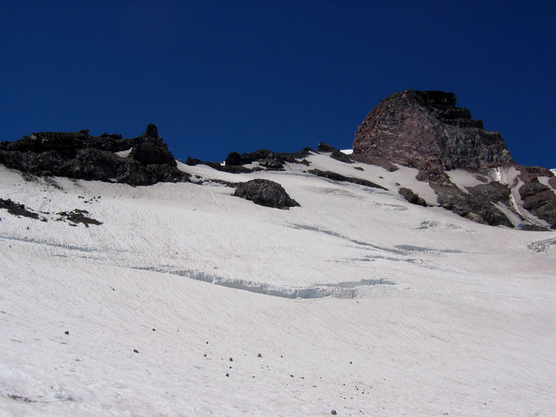
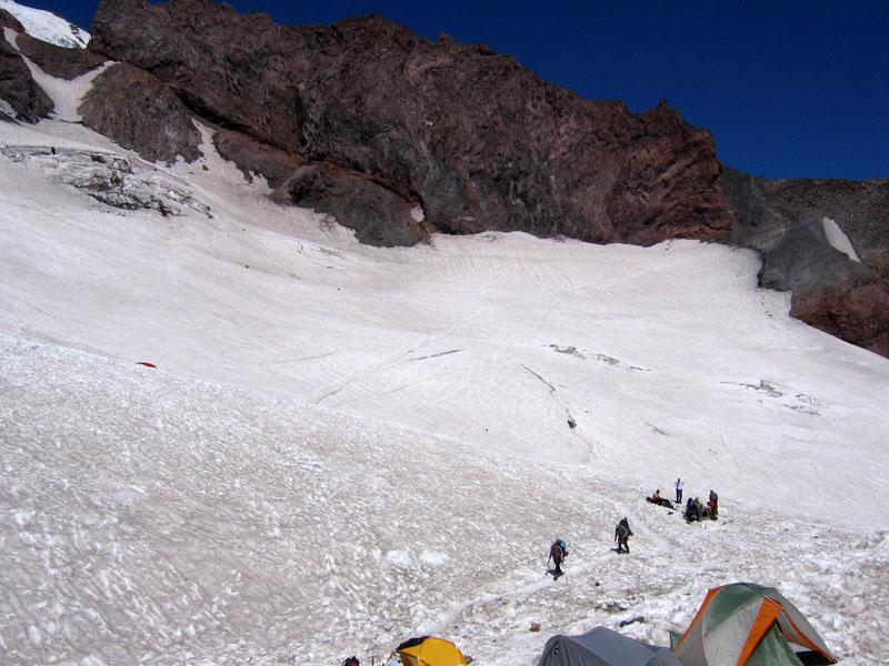
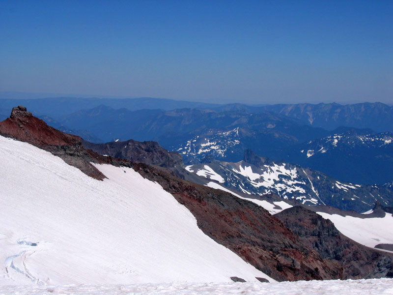
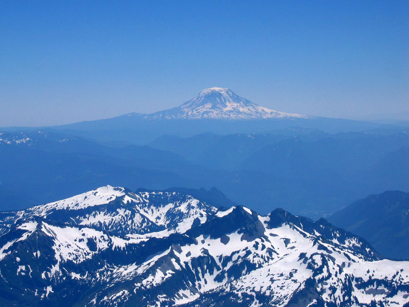
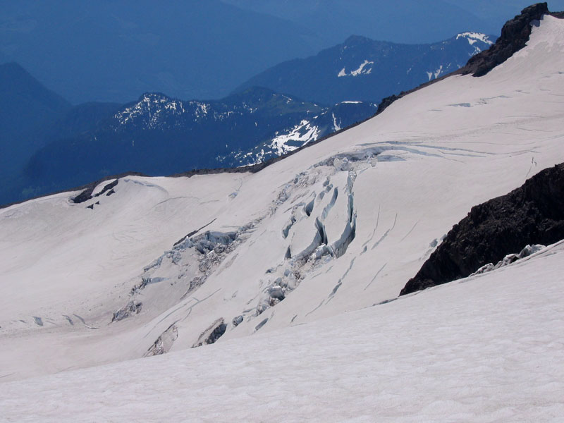
Top left: Gibraltar Rock with some fissuring snow beneath as viewed from Camp Muir. Top right: Look closely and you should be able the see the path up from Muir across Cowlitz Glacier (with a few crevasses off to the right). Next time. Bottom left: Peaking down the Cowlitz Glacier toward Cathedral Rocks. Bottom right: Looking back the other direction toward Mount Adams.
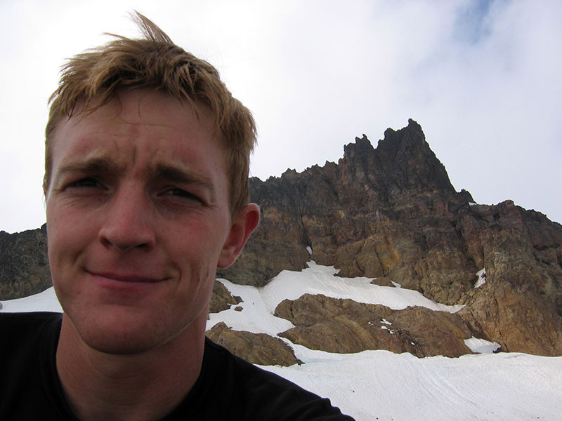
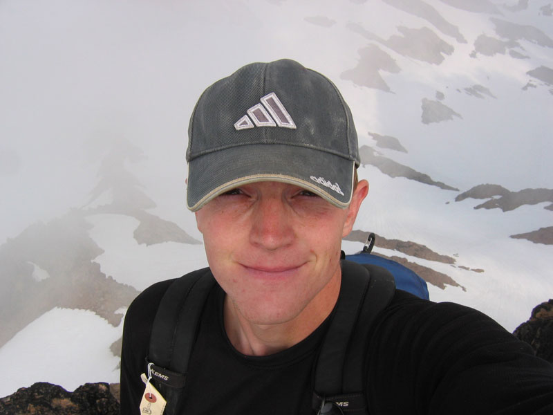
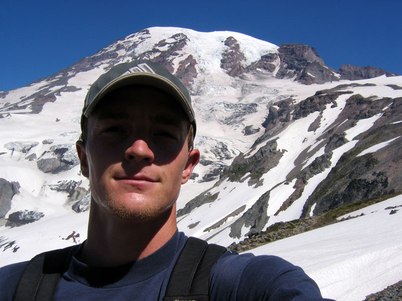
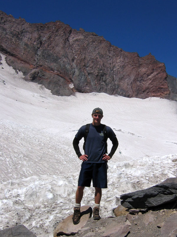
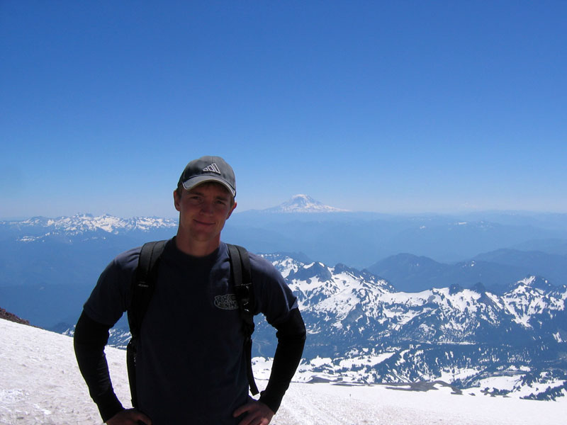
Normally I don’t like bugging people I don’t know to take my picture, but the woman who nicely took my picture didn’t seem to mind.
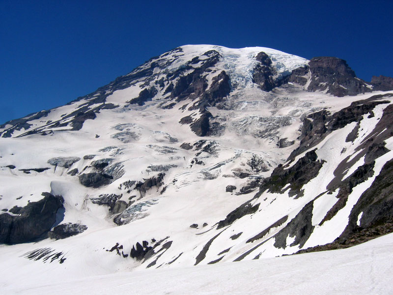
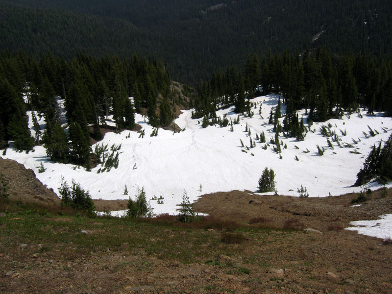
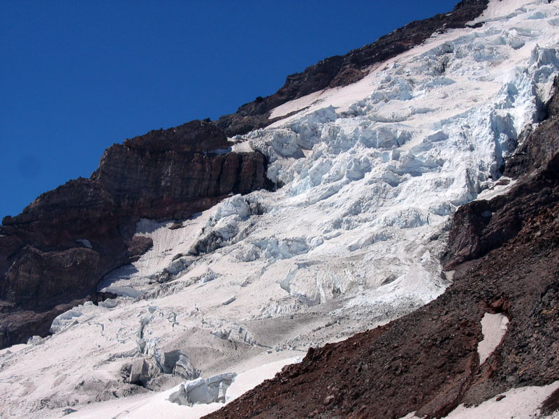
I kicked off my boots, ate some lunch (Powerade, bagel, a couple slices of salami, and Twizzlers) and relaxed in the sun until some of the snow water evaporated from my soaked socks. After about an hour, the crowd of dayhikers was really starting to thicken, so I took my cue and headed back down. I detoured off the beaten path to get a closer look at walls of snow perched on Nisqually Glacier. Outside of Alaska, Mount Rainier has the largest single mountain glacier system in the US and it certainly is impressive up close.

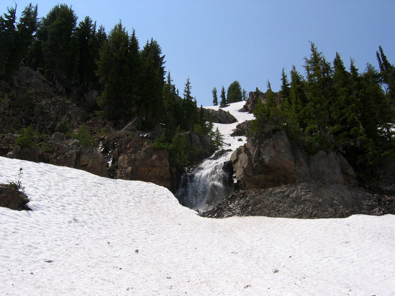
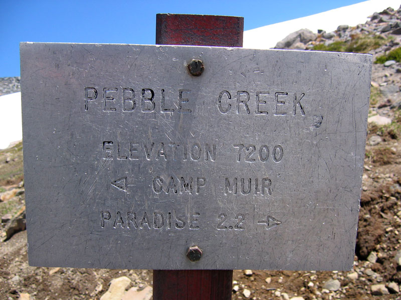
On the way down I was able to shave huge chunks of time by glissading (sitting on my butt and sliding) down the steeper slopes. I tried this on Mount Adams last year with not much success due to icy conditions. The sun kept the slopes good and melty yesterday though. Here’s a video of one of my slides (click). Quality is not great (taken from my battered digital camera) and a bit Blair Witchy, but the idea is there. Wheee! I was picking my way back across Pebble Creek in no time.
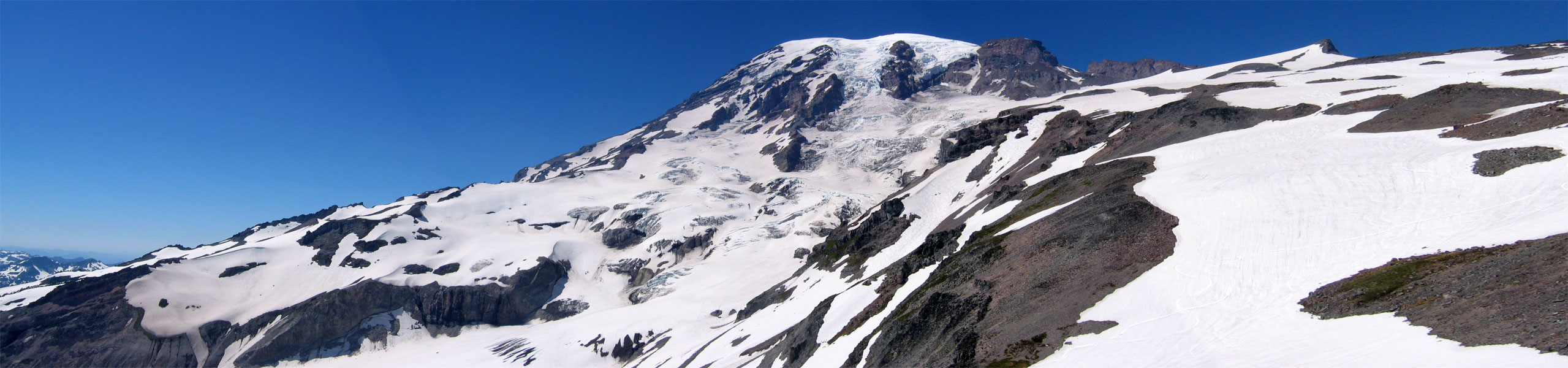
Mount Rainier panorama that I stitched together. This picture (2559 pixels wide) wouldn’t fit in my pop up window and depending on your browser you may have to click the picture once it opens to see all that widescreen glory.
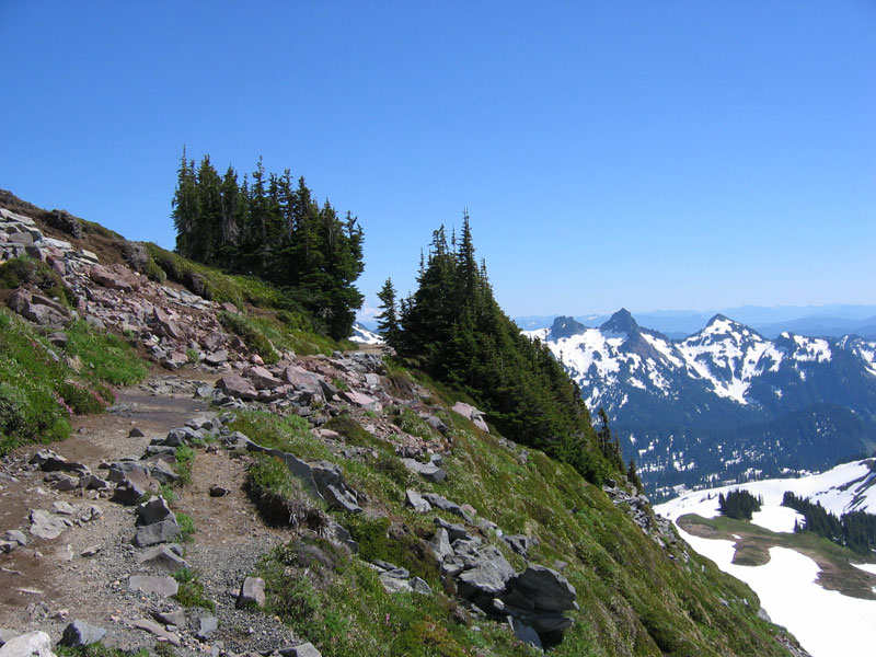
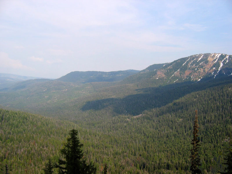
And a few last shots. Top right: Panorama Point where a lot of the day hikers turn around.