Category Archives: General

Sun 20 Sep 09

Note: this continues yesterday’s post…

Last Saturday night was the first time I’d tried camping with both dogs, in the middle of nowhere, no less (Mary and I camped with Trammell at Hoffmaster State Park in Michigan when Trammell was a puppy – he yipped intermittently through the night at anything that moved). At home, the dogs usually sleep in the bed, insistently nosing their way under the covers. So, I was curious to see how they’d do outside of their comfortable home base. After a full day of hiking I was hoping they’d cash out pretty quickly even in unfamiliar terrain.

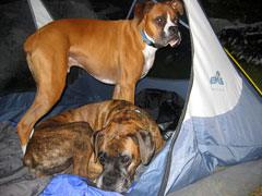
With a clear forecast, to save pack weight, I didn’t bring my rain fly, and this may have been a mistake. As I lay on my back watching the massive display of stars sparkle through the tent mesh, Trammell sat up growling and unleashing warning yips at moving tree branches and scurrying pikas. Trammell, lay down boy. Rrrrr. Taylor on the other hand curled up to sleep almost immediately, maybe content to let Trammell handle the first line of defense.

Eventually fatigue took over though and with temps in the 40s both dogs tried to nuzzle underneath my sleeping bag. You guys wouldn’t last a week in wild with your ancient ancestors. Sleep was somewhat sporadic with the cold air, shifting dogs, and bright moonlight. I woke the next morning as the first hint of sunrise. I think there are few things in the world more beautiful then watching mountains light up with a morphing sunrise. I roused the dogs, who unfurled languidly, then looked around and seemed puzzled by the scenery. Come on guys, it’s a new day, let’s go snap some pictures of the morning.

Unfortunately, overnight my camera stopped working. It had been dying a slow death over the past year (after many drops over rocky ledges and much sand inhalation from days on the coast). This morning it turned on, but produced only black images. The only thing that had changed since the night before when it worked though was the temperature, so I thought maybe as the day heated up, some camera life would rekindle.

I watched Cathedral Rock above me light up and Mt Daniel in the distance shift from pink to yellow to white. The dogs sniffed and explored while I scrambled around on the huge boulders and kept fiddling with the camera. Finally, hey, it’s working. I had missed capturing the morning flare, but was glad to at least be able to get some pictures of camp before we cleared out.

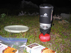
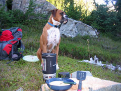
I filtered some more water from the creek and boiled some water for oatmeal. The dogs ate their dog food breakfast from a Frisbee, then stared at me while I enjoyed my oatmeal, apparently incredulous that I wasn’t sharing. I broke down camp and we were off.

The day was already rapidly heating up as we set off down the trail and I shed my long sleeves after about ten minutes of hiking. The further we hiked the more I was glad to have chosen the campsite I did the night before, as the trail traversed steep slopes and cut through dense underbrush and offered no flat clearings.

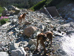
We reached a turbulent stream crossing below a notch in the mountain side. Trammell dutifully trotted across, but Taylor would have none of it as I called her. I picked her up and hopped somewhat awkwardly from rock to rock.

After a couple more miles of moving north the trail finally wrapped around and began to point back toward the trailhead where my car was parked. I was pleased with this development as I was starting to feel the miles and elevation of the previous day. From there we quickly reached a sign pointing to the side trail up to Tuck and Robin Lakes. Choice: long tough hike up to potentially gorgeous lakes or all downhill four mile stroll back to the car. Hey, we’ve already come this far, right?

The climb up to Tuck Lake was not fun at all, 1,000 foot elevation gain shooting pretty much straight uphill. Usually on something this steep, the switchbacks help. In this case the switchbacks were composed of repeatedly two-foot steps up boulders and tree roots. I can’t remember my quadriceps feeling that fried in a long time. The dogs too were looking a bit haggard. I paused a couple times on the trail to refuel and steady my legs and each time the dogs lay down on the ground and immediately went to sleep. Little troopers though, they hopped up as soon as I started hiking again.

And Tuck Lake was gorgeous. Kind of a smaller, slightly less enchanting version of the Enchantment Lakes. This is a popular camp destination and there were a few tents lining the shore. I refilled my water bottles and the dogs guzzled from the lake. While I was refilling my bottles, a woman wandered over and asked if I minded filling a couple for her. She pointed back toward her husband and son fiddling with a filter near shore and explained that their filter wasn’t working correctly.

I had been considering calling it a day, but while I pumped water into the woman’s Nalgene bottles, she described Robin Lake, 1.7 miles away and 1,000 feet up, as “much prettier”, “a deep blue bird blue, that’s why they call it Robin”. “And really you already did the hardest part.” Okay, I’m convinced. The dogs bumped up against her knees and tried to lick from her water bottles while I pumped.

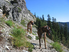
The climb up to Robin Lake was essentially a boulder scramble, a thousand foot boulder scramble mind you. Usually I love boulder scrambling, but this day I was mostly feeling tired and warm and worried about the dogs. They were doing great, had plenty of water, but were obviously tired too. Still if you’re dog, even if you’re tired, how often to you get to play unleashed in this kind of playground? I’m sure they were in their element. There were a couple spots where they needed boosts up tall boulders, but for the most part they just scampered up behind me.

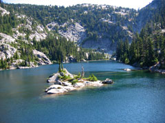
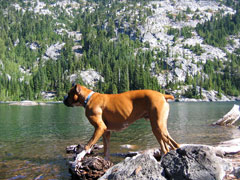
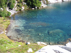
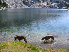
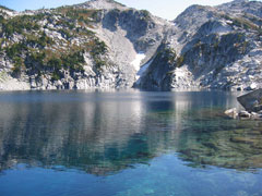
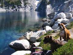
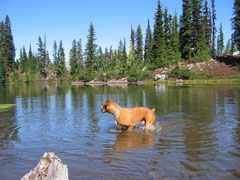
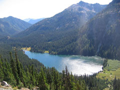
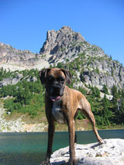
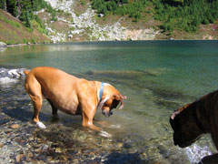
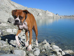
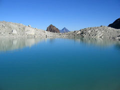
Robin Lake was spectacularly blue. It actually was composed of two lakes. We stopped first at the smaller of the two lakes where the dogs drank and cooled their feet in the shallows.

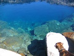
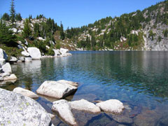
Then continued on to the larger lake, which was much deeper right at the shore and had six inch fish flitting about. The water was absurdly blue and absurdly clear. Almost tropical looking.

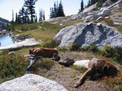
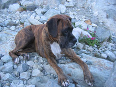
The dogs napped while I rinsed out my socks and laid them on a boulder to dry. I read a book while my socks dried and fiddled more with my camera. It again was only working sporadically; by turning it off and on I could occasionally get it to take pictures, but mostly it refused (as I’m writing this now, I think it’s officially dead). The dogs ate the last of their dog food and I polished off a tuna steak I’d been saving. Energy for the home stretch.

The return trip from Robin Lake to the car dragged on forever, but we reached the car by dusk and drove home via headlight. I suspect this will be the dogs’ last big Washington adventure.
Sat 19 Sep 09

Last Saturday broke blue skied and sunny, a perfect day to go scampering around the woods. My first thought was a long day hike with the dogs, maybe bag a peak and be home by dark. I asked the dogs; they agreed, affirming with cocked heads, raised ears, and guttural awwooos. As I scrolled around a Google terrain map of central Washington though, the minutes ticked by and shrank my day with each indecision. Finally I realized that what I really wanted was to explore at leisure, not to be pushed by a destination and a darkness deadline, to wake up in the mountains. I unloaded my daypack and tossed a tent and sleeping bag into my weekend pack. I picked a trailhead I was familiar with the idea in mind that I’d hike into the mountains, find a place to sleep, and explore more the following day and hike out.

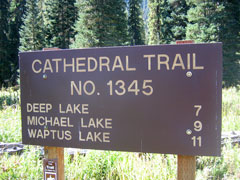
After quick stops to print out a topo map and purchase food, we were on our way, two of us hanging our heads out the window ears a-flapping, and the other one grinning and giddy with the day. In about an hour forty five we reached the world’s worst dirt road and slowly jostled our way thirteen miles to trailhead 1345 in the Alpine Lakes Wilderness. My rough plan was to hike up toward Cathedral Rock (a trek I knew to be dog-friendly from an ’08 rendezvous) and once on the ridge spy out a route to the upper tarns to the west, possibly crossing over near Mt Daniel.

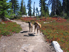
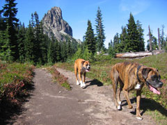
The last time I had been on this trail with the dogs they burst onto the trail, huffing and clamoring for the first half hour. This time they were more restrained, tempered by a year of hiking experience I suppose, happily trotting along next to me. We only met one couple on the way up to the ridge, a friendly husband and wife staring up at Cathedral Rock through binoculars and posing for pictures. They asked if my boxers were English or German. I didn’t know.
At the top of the ridge, just to the south of Cathedral Rock, I sat on a boulder, scanned the horizon, and weighed my options: two I knew about and one that would be revealed later. Option one, drop down to Deep Lake then climb back up to Circle Lake via a trail indicated on my map. At home looking at Google maps, I thought that from Circle Lake I might be able to scramble up and over the ridge to reach Spade and Venus Lakes. Looking across the valley now though, I could see that this would be a horribly unpleasant task for the dogs (and probably me as well). My map also showed a trail leading away from Deep Lake, then wrapping circuitously around the ridge, before climbing back up to the lakes on the far side. Looking down though at Deep Lake a thousand feet below I just wasn’t quite ready to give back all the elevation I had just earned.

So I sipped some water, ruffled the dogs’ skulls, and considered option two: follow the trail along the steep western slopes of Cathedral Rock toward Peggy’s Pond and Mt Daniel beyond. Ah the familiar. I knew the dogs could be sipping from the pond in twenty minutes. Well, I’ve been there before, but I guess I could try a different route once past Peggy’s Pond, maybe head high on the east ridge of Mt Daniel. Good enough. Secret option three would have to wait for the moment.

We followed the slightly sketchy trail around the rocky slopes of Cathedral Rock, then climbed up through evergreen to reach the pebbly banks of Peggy’s Pond. The dogs guzzled water and seemed happy to be back on flat ground again.

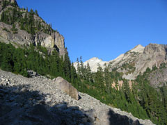
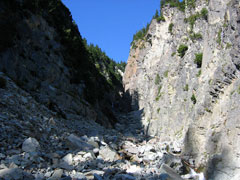
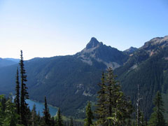
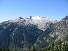
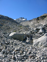
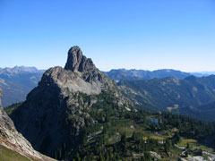
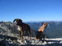
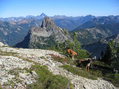
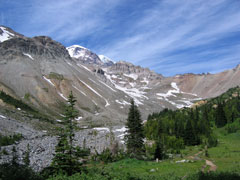
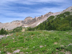
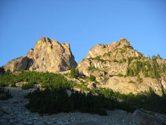
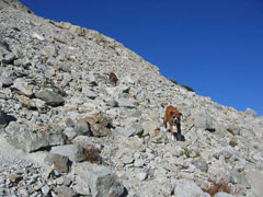
When the dogs and I had come up the previous year, we’d gone charging up the valley below Mt Daniel (pictured below left), playing on the glaciers before steep rocky slopes blocked our way. Out of curiosity, I wanted to climb the ridge above that valley this time. So we did. We continued past Peggy’s Pond and picked our way up the ridge, sometimes following a river bed, sometimes crunching through vegetation, but mostly scrambling up rock slabs. Pictured below right is the view looking back toward Cathedral Rock and Peggy’s Pond.

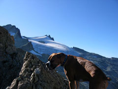
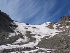
I tried to trick my brain into believing that I was just checking out the ridge to see the views beyond, but my brain saw right through that plan and kept hoping the ridge would be friendly enough on the dogs’ paws to allow a summit run. No dice. At about 7,000 feet elevation, as we approached the spire to the right of the summit in the picture above, we ran into incessant scree and the end of our climb.

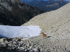
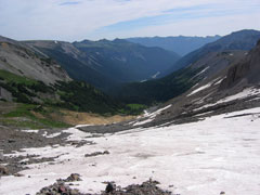
As a backup option to a summit push, I had been considering dropping into the valley on the far side, but as you can see in the picture above of Trammel standing near the snow, the going that direction seemed a bit precipitous. So I soaked in the views and the cooling breeze for a few minutes and considered my backtrack choices: either go back the way we came or scramble straight down the nearby rocky slopes toward the glacial pools below. Ah, look how close that water is, we’ll just go straight down to it.

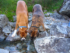
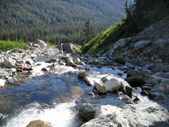
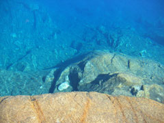
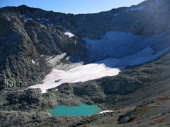
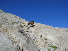
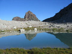
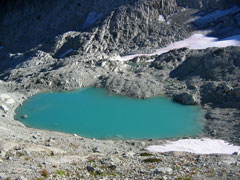
Very unpleasant downclimb. Tentative dog steps and many mini rockslides. We were duly rewarded though with rocks for sitting, water for sipping, and absurd glacier blues.

I considering setting up camp on the spot as the shadows crept toward us, but knew that the next day I would be backtracking toward Cathedral Rock one way or another, so in the interest of day two mileage I decided to keep hiking. When we reached Peggy’s Pond though, we now found it dotted with tents. Some people like the security of having other folks within shouting distance; I’d rather have my space. Hmm, well I guess I could camp back on the ridge east of Cathedral Rock (the sunrise views of Mt Stuart would be spectacular). So we kept backtracking.

Reaching the ridge though I stumbled onto another option (secret option number three). While canvassing for a campsite, I noticed a trail leading off to the north. Consulting my map, it looked like the trail wrapped around Hyas Lake to the north (looping back to our original trailhead) and connected to another side trail leading up to Tuck and Robin lakes on the far side. Sounds good for day two. Cool.

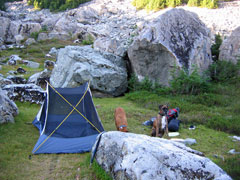
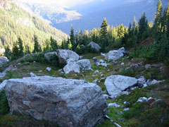
I started down the trail and immediately started looking for campsites in the dwindling daylight. About ten minutes down the trail (still looking up at Cathedral Rock), on a hunch, I wandered off trail and into a hidden clearing punctuated with gigantic boulders and bordered by a running stream. Perfect.

Tent up, water filtered, couscous Jetboiled. Great day.

Mon 14 Sep 09

I would say that ten times in the past month I started to write a post here then just didn’t feel like putting in the effort to finish it. Not really sure why. Apathy momentum I guess. Or inertia, whatever you want to call it. And it’s been a good month too. Perfect weather, great hikes. Mary flew back out here to visit a couple weekends ago. Michigan football looks capable of beating MAC teams this year. Easily my favorite time of the year.

I’m currently renting a place in Yakima month-to-month while waiting for my work contract to run out at the end of the year. Me and two dogs in a couple hundred square feet. Mary’s been holding down the fort in Michigan. She started graduate school (Counseling Psychology) at Western Michigan last week and has been making offers on cheap foreclosures in decent neighborhoods as they pop up.

Oh for three on offers so far, but it looks like the fourth time may be the charm. Nothing final, but this afternoon the bank just accepted our $68,000 offer on a foreclosure in a great neighborhood in NE Grand Rapids (the last sale price was $150,000 in 2005). As a foreclosure, obviously there will be some work to do, but I have no problem with sweat equity (and on the surface this one actually looks to be in nice shape). We should know more over the next couple of weeks, as the inspection is completed, etc.

Tue 4 Aug 2009

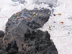
Three weekends ago I climbed up to Steamboat Prow (elevation 9700 ft) and Camp Schurman on the NE side of Mt Rainier. It was a sparkling day and a gorgeous hike through Glacier Basin and up the Inter Glacier. I covered the 6 miles up and 5200 feet of elevation gain in about three hours and felt solid all day. Plenty of bounce in the legs and lungs filling like a walk in the park.

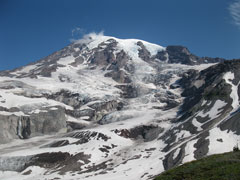
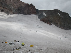
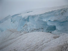
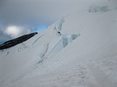
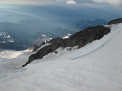
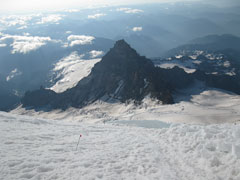
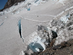
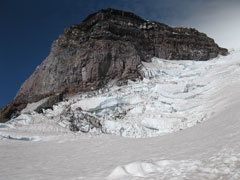
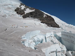
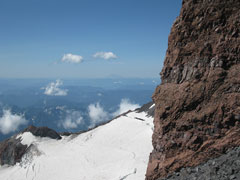
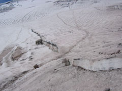
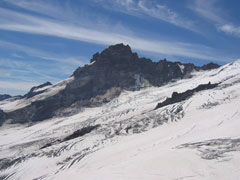
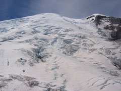
I stopped briefly at Camp Curtis on the way up to refuel and enjoy the glacial views. The north face of Little Tahoma (pictured from above in my last post re: Rainier climb) loomed across a crevasse field. Rainier dominated from above. Behind me stretched an endless display of green and white. A few more minutes of hiking from Curtis and I was standing alone on the Prow looking down at the colorful tents dotting Camp Schurman. From the solitude of my perch, I watched the climbers slowly marching down the slopes of Emmons Glacier above me after summiting the peak earlier in the morning and I realized how bored I was with stopping at 10,000ft (the highest elevation the Parks Department will let you advance without a permit and a partner). I wanted to see crevasses and seracs, to hike into the cold night and watch the sun rise below my feet. I determined to find a way to make it happen.

With dogs waiting for me at home I stayed at the Prow only a few minutes before turning around and running much of the way down Inter Glacier and back down through Glacier Basin and its spectacular spread of wildflowers.

Next post I’ll have a write-up of the Rainier almost-climb.