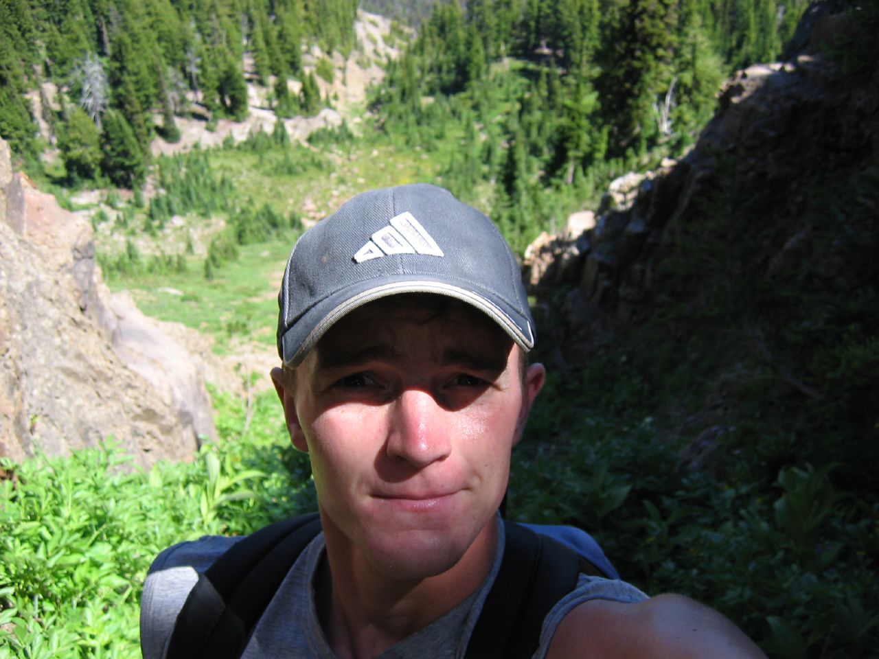
I was going to turn my hike from Sunday into a full-blown short story (it really was quite the adventure), but I’m so sick of looking at computer screens all day at work, that I can’t sit here much longer than the time it’ll take me to post the pictures. So, instead you’re basically just going to get a bit of a photo documentary. I think it’ll still be good though.
Took a drive down highway 12, pulling off on some Forest Service roads near Rimrock Lake. Paved for about ten miles, then gravel/dirt for the last seven. Arrived at a trailhead near Goat Rocks Wilderness Area and promptly headed off for what turned out to be seven straight hours of hiking on moderate to difficult terrain. 18 miles and just about 3000 feet of elevation gain.
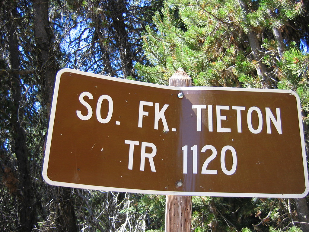
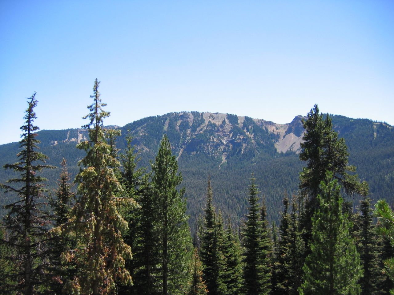
Here’s the trailhead of Trail 1120 at Conrad Meadows and after about ten minutes of hiking a look up at my eventual destination (look basically at the horizontal midpoint of the picture at the mountains farthest back on the horizon).
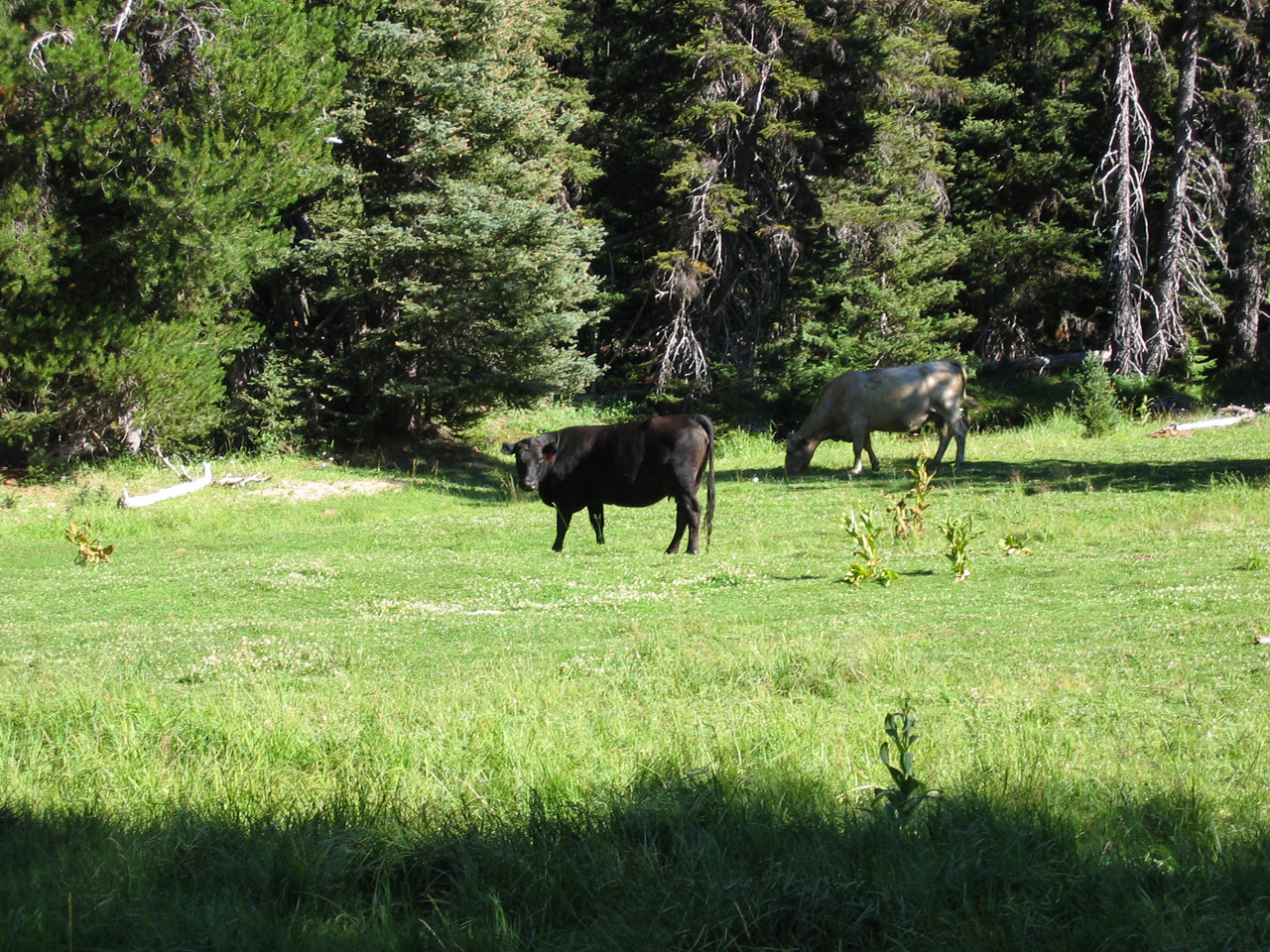
Some of the trail cut through private property (granting easements to the Forest Service). It was kind of funny to bump into cows in the middle of a forest (here were a few more cows from the return trip). The picture on the right is one of the streams I crossed early on in the hike.


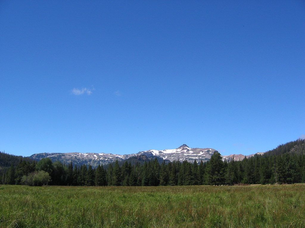
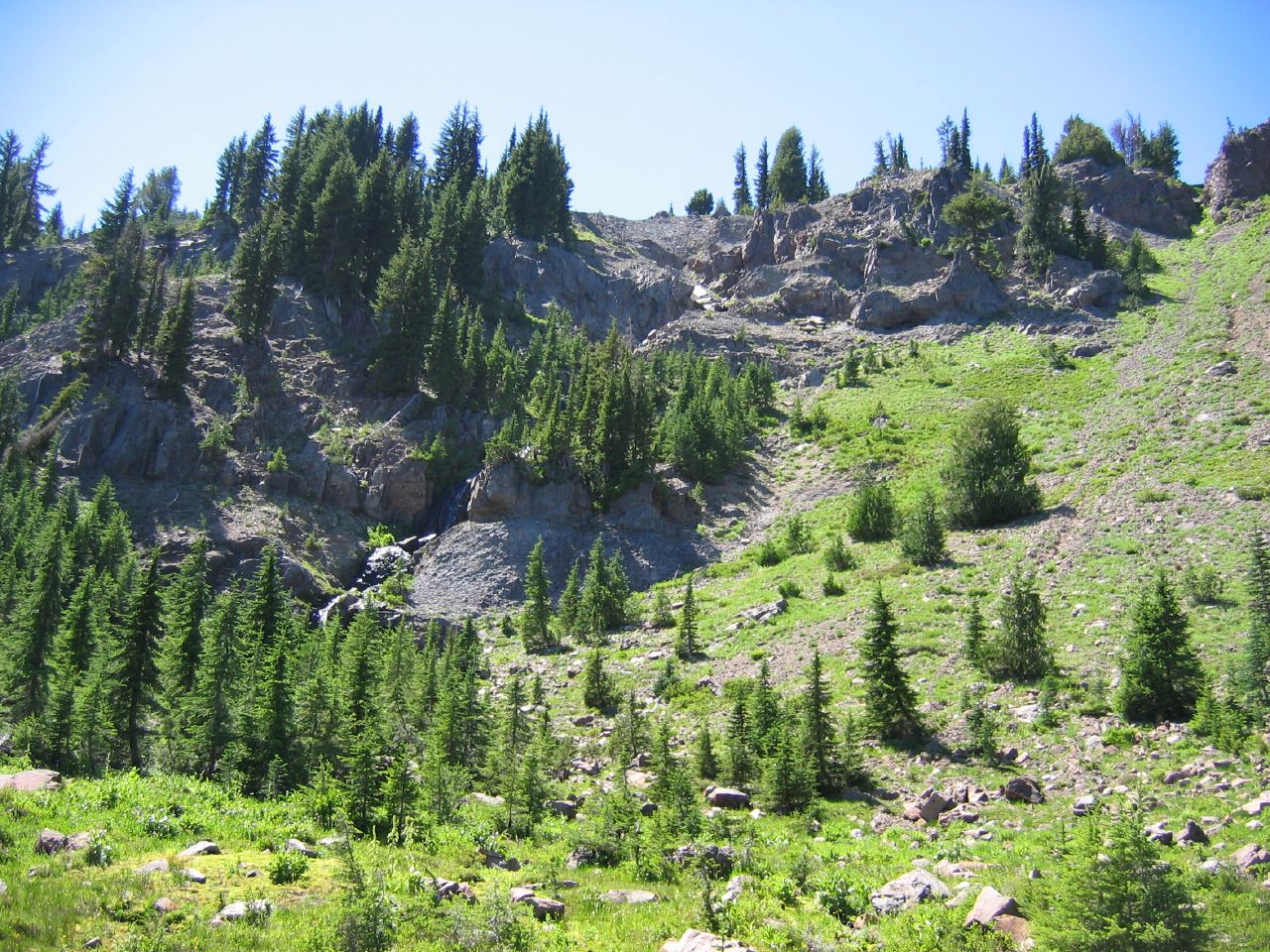
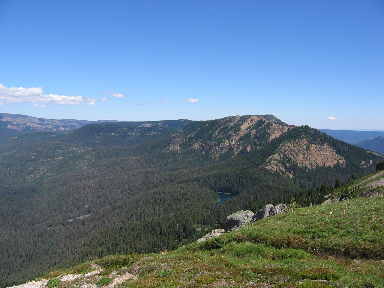
Just a couple of looks at views from the lower elevations. Typical trail and a first peak at some of the lower ridges SE of Goat Rocks.
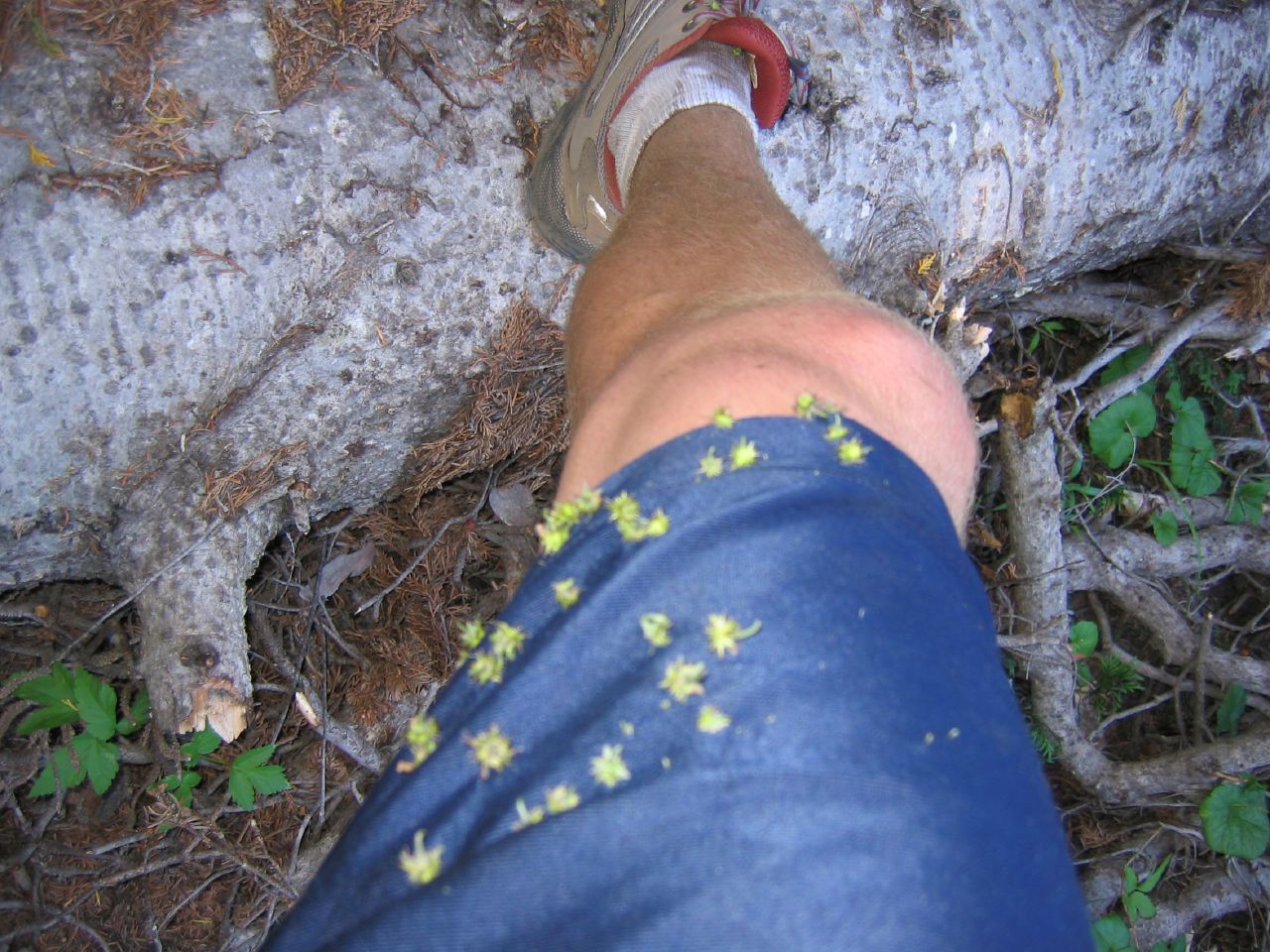
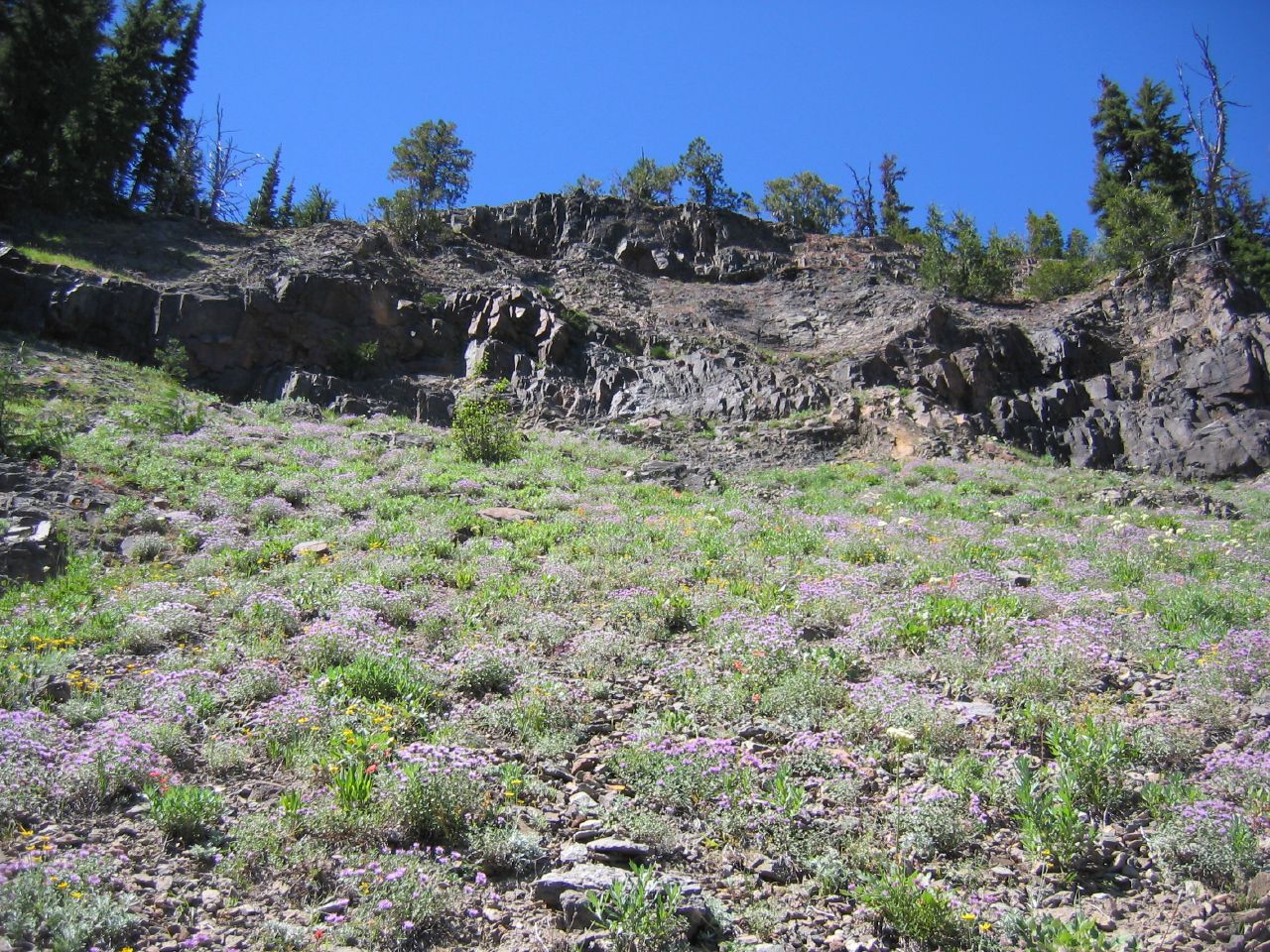
At one point I got sick of waiting for the trail to head more steeply upward and veered off through some weeds. The weeds won that round and I ended up sticking with the trail for a while longer. Tons of wild flowers out, though the picture on the right didn’t come out the clearest.
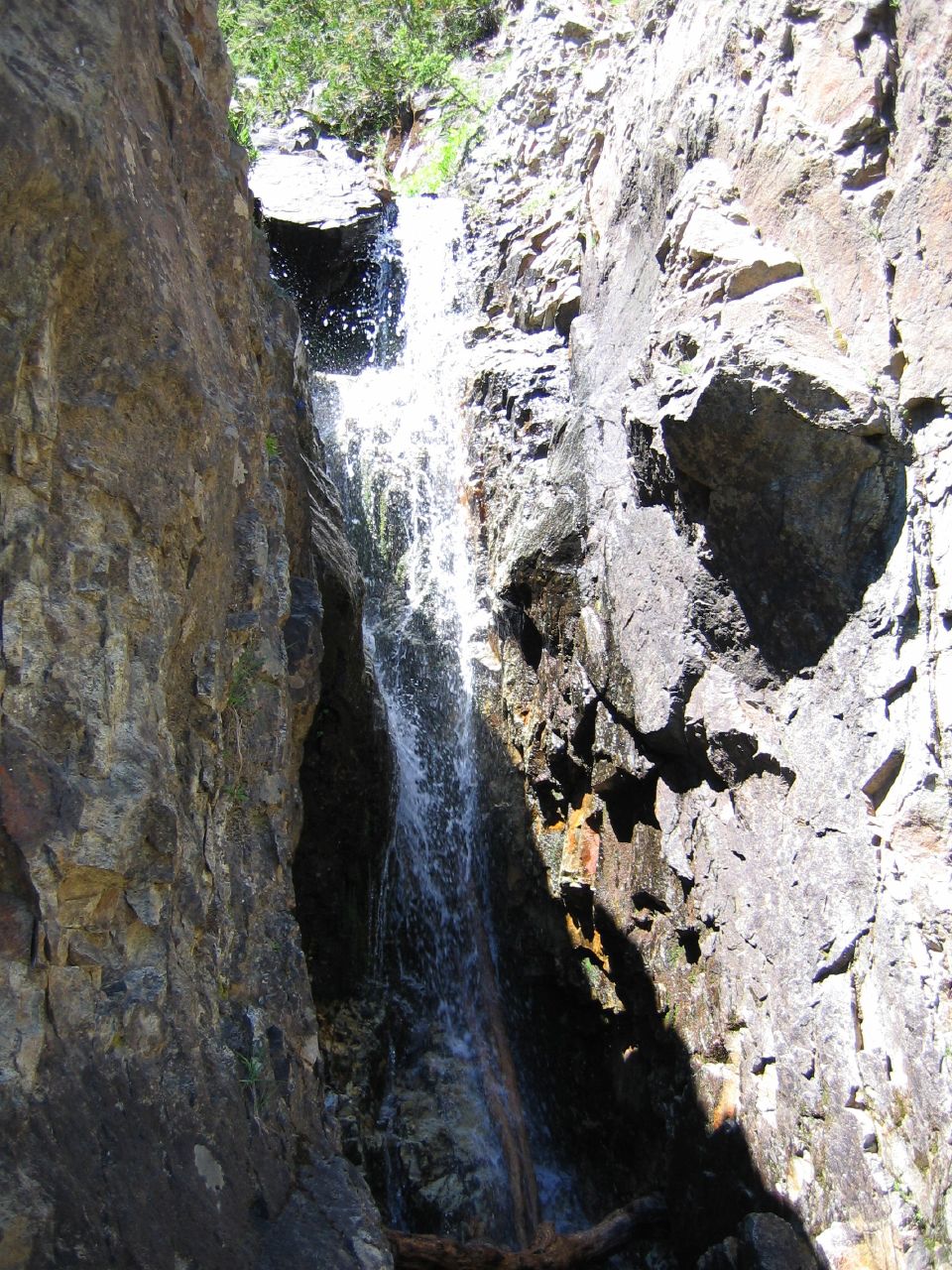
Maybe a half hour after my weed foray I stumbled across a small stream cutting across the trail. Itching for some scrambling, I followed the rocky creek bed back a bit and discovered a series of small cascading falls. Very cool. Particularly because I had run out of water at this point and figured a clear running stream at upper elevations was as clean as anything I’d probably find. Filled my water bottles and guzzled (luckily with no future ill-effects). Take that Giardia! Ended up climbing up the slippery cliffs (with a few spots of frantic clawing).

Topped out to the view below to another set of waterfalls. Gorgeous! At this point I was starting to figure all the water had to be coming from somewhere cool so I charged up the next scree-covered slope (pictured left). This turned out to be a more precarious proposition than first appearances. You can see how steep the slope is behind me in the picture on the right.
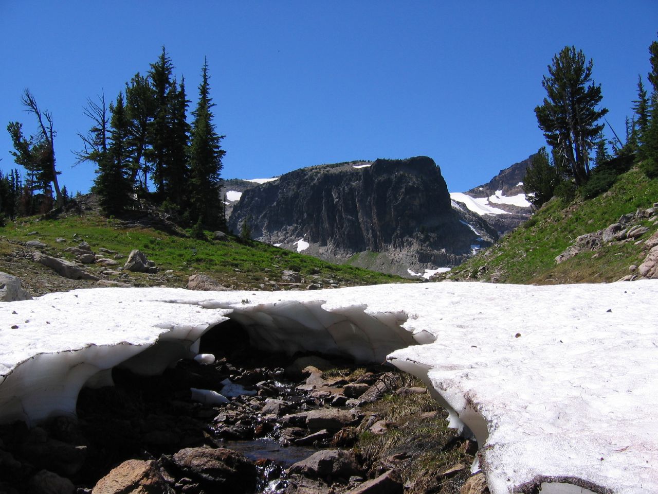
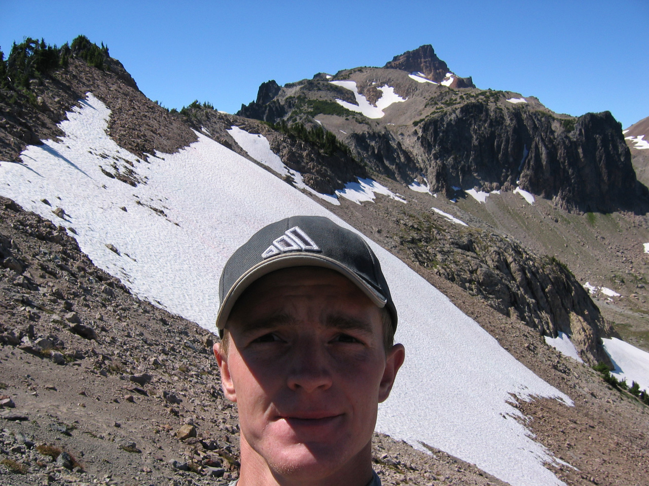
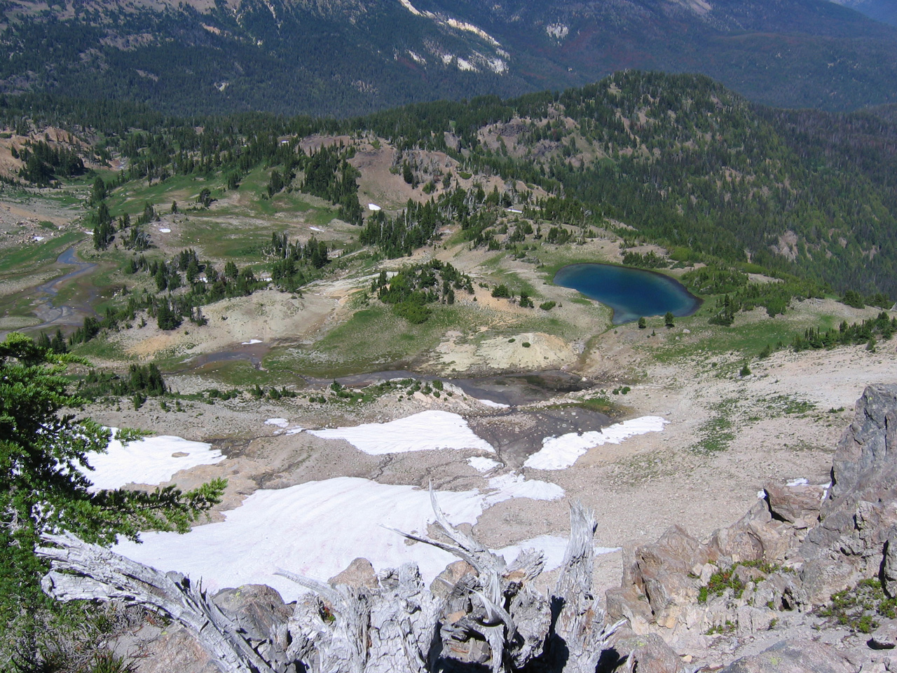
Topped out again. Kabam! Snow! Stumbled into a meadow partially surrounded by cliffs and snowy slopes. I love that picture on the right. If you look at that picture I think the peak on the far right is Curtis Gilbert Peak which is the highest point in Goat Rocks. I didn’t know this at the time though or I probably would’ve at least taken a shot at it (probably for the best though given my lack of food and water at that point, and that I had already been hiking for more than three hours).

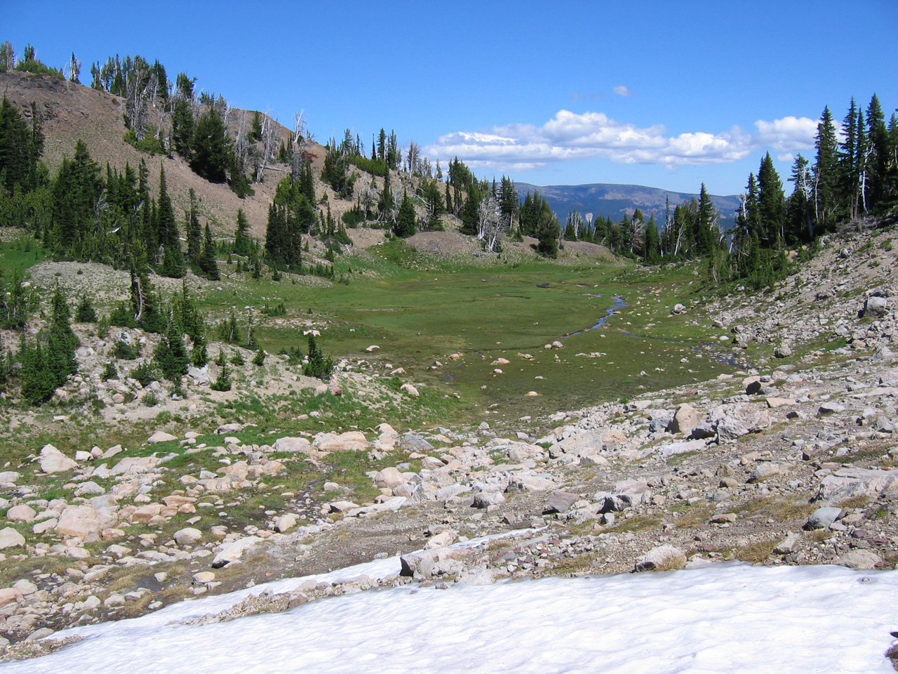
Left: a look back down the meadow after I hiked a little further. Right: hiking even further gave a nice view of the forest below and Surprise Lake.
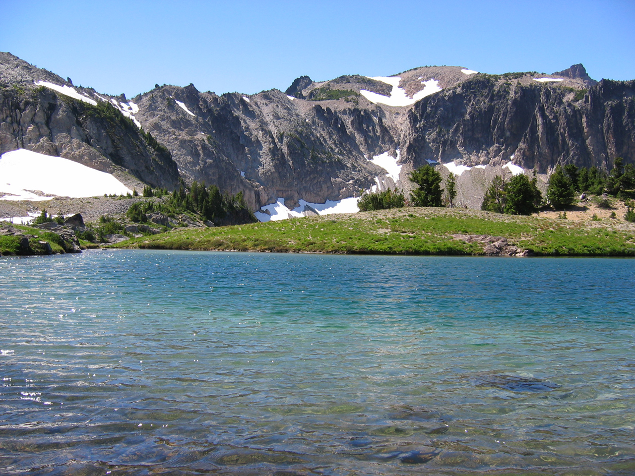
This little lake made my day. Super rich blues with the glacial cloudiness. I washed my face and sat for a bit. If I’d had more time I may have braved a swim. Next time. It’s such a neat thing to find an unexpected lake at the top of a mountain. I checked some topo maps for the name after getting home: Warm Lake.
I kept on hiking, up this slope and then onto the snowy one. On my return trip I tried sliding down this glacier, but quickly was hurtling at a bit of an uncomfortable speed and had to dig my naked fingers into the snow to slow myself down.

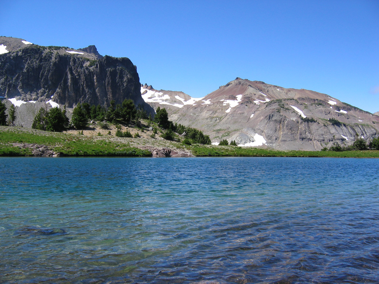
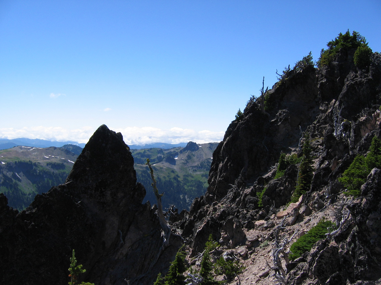
Views from my highest elevation of the day. Left: looking back at Warm Lake and some of the terrain I had covered. Man, that was a long trek! Right: a look west.
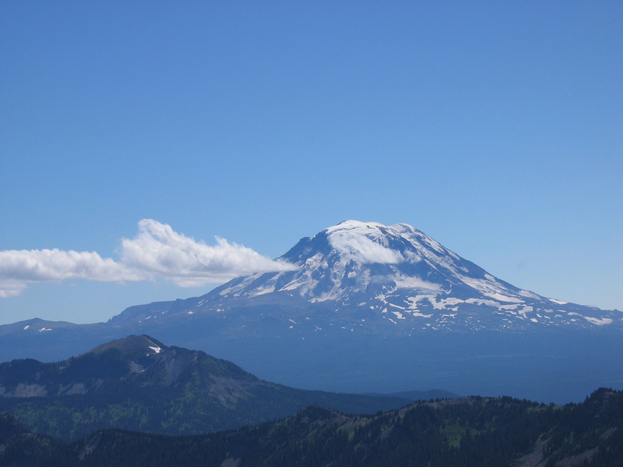
And a few more top elevation views. Mount Adams, ladies and gentlemen! Regular view and slightly zoomed in view. Perfect viewing weather and another treat for the eyes. I had kind of been hoping to see Rainier as well (one big reason I kept hiking upward long after I should’ve stopped), but I think I would’ve had to get in the Curtis Gilbert Peak area to see the big guy.

All in all a super day. I ran quite of the way back to my car (to the chagrin of my knees and shins the following day) and, as I hinted at earlier, there was a fair bit more drama (as one would expect on an unfamiliar eighteen-mile solo hike with not enough food or water), but this is an area I think I’ll be happy to return to again, maybe with a companion or two in tow next go-round.
Looks gorgeous, Josh. Did you have any idea what you were getting into when you started out? That was a loooong trek. Sounds like it was rewarding though. (I want to say “Be careful” but you know alot more about hiking that kind of terrain than I do.)
Nice, reminds me a bit of where I worked in Utah — with the cows even. I’m jealous of the greenness and the watery-ness. I always have to carry about 5 liters of water/gatorade on my hikes. And I don’t like to stay on the trails either.
It was not planned as that long of a hike (after a 10 am departure time, I had originally planned to be back in Yakima by 4 pm to play Ultimate Frisbee), but the trail head map didn’t have a mileage scale, so I just figured I’d go for it. Utah is probably a fairly good analogy. My guess is similar weather patterns. It reminded me a lot of some of my time hiking in Colorado, which was nice to find after only a ninety minute drive from Yakima to where I started walking. Kind of excited to explore more in this area. Hoping also to get down to Adams before the end of the summer. Maybe Rainier next summer.
Pingback: slipperyamoeba.com » Blog Archive » Fri 11 Jul 08