Two Fridays ago. After a leisurely start to the day, Dan and I headed out to Mount Rainier National Park at about noon. We gassed up at the Arco on 40th and swung into Fred Meyer for some hiking grub (Sour Patch Kids, for energy), then were on our way. No real hiking destination in mind, just something backcountry departing from the Sunrise trailhead.
At the White River entrance to Rainier we popped into the ranger station to locate a suitable campsite destination and pick up our backcountry permits. After disrupting the sole ranger from her chatty cell phone call, we ended up choosing Granite Creek (from a very small selection of options) as our goal for the day (about a five mile hike). The ranger gave us our safety pep talk. “Make sure you hang up your food. There are bears everywhere.” “Ok, thanks.” The rest of the trip was pretty much spent making bear jokes about bears everywhere, bears dressed up like rangers, best wrestling moves to defeat a wrestling bear with (always outside single leg sweeps, no double legs; sprawling bears are trouble), etc.
Back in the car for about fifteen more minutes to reach Sunrise. Sparkling day as we pulled into the sparsely populated parking lot. Lunch was eaten tail-gate style from the back of my car (“rotisserie-flavored” chicken and cheese sandwiches). We stopped into the ranger station to try to locate the proper trailhead for Granite Creek and were met by a ranger who seemed to know even less than we did about the trail system. After Dan and I looked over a trail map taped to the counter though, the way seemed clear enough. Packs were shouldered; let’s go.
We walked about thirty seconds up the paved walkway, hit our first fork, and decided not to follow path anymore (boy, it sure looks like we could just head off down this dirt path on the left here and end up in the same place). Wandering through some thickets brought us to an old campground road (and a group of apparently disoriented Japanese tourists) that we followed until it reconnected with the original trail that we earlier avoided. Shortcut successfully negotiated.
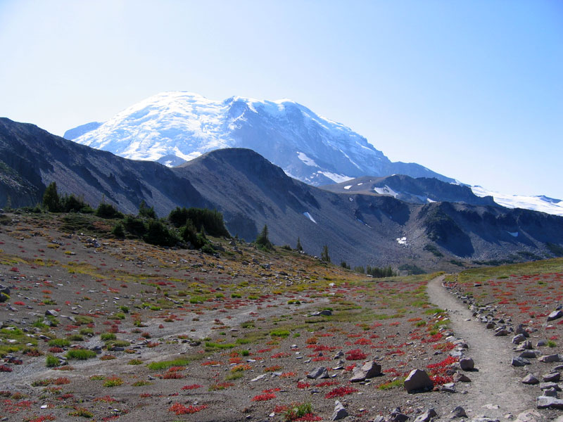
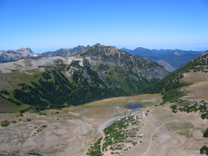
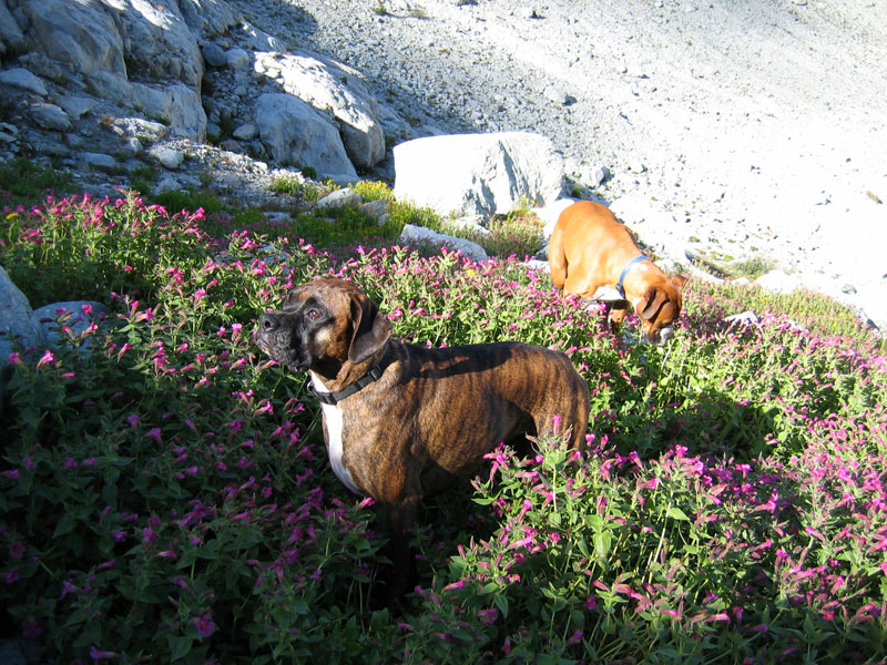
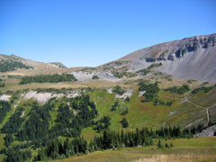
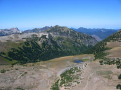
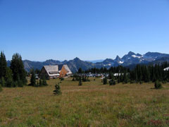
At this confluence of trails we stepped onto a stretch of the Wonderland Trail (a ninety-three mile loop around Mount Rainier) and enjoyed sweeping views of rolling meadows backdropped by Rainier and smaller peaks. Signs marked the way to Burroughs Mountain, Berkley Park, and Mystic Lake. We headed toward Mystic Lake. Pleasant hiking as we headed gently downward on a well-defined dirt path. No bears yet. Only a few others hikers on the path.
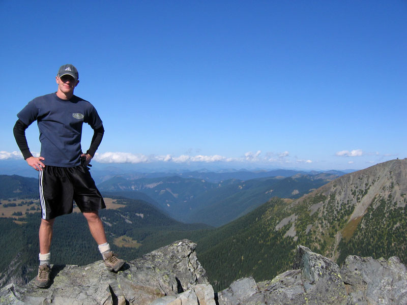
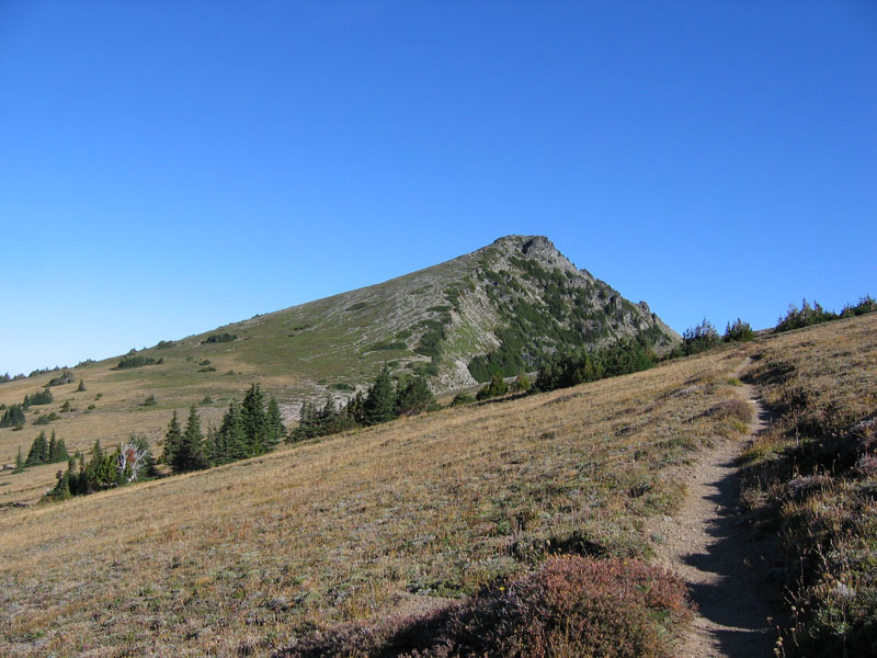
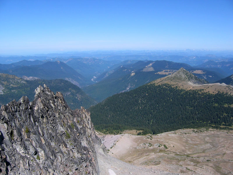
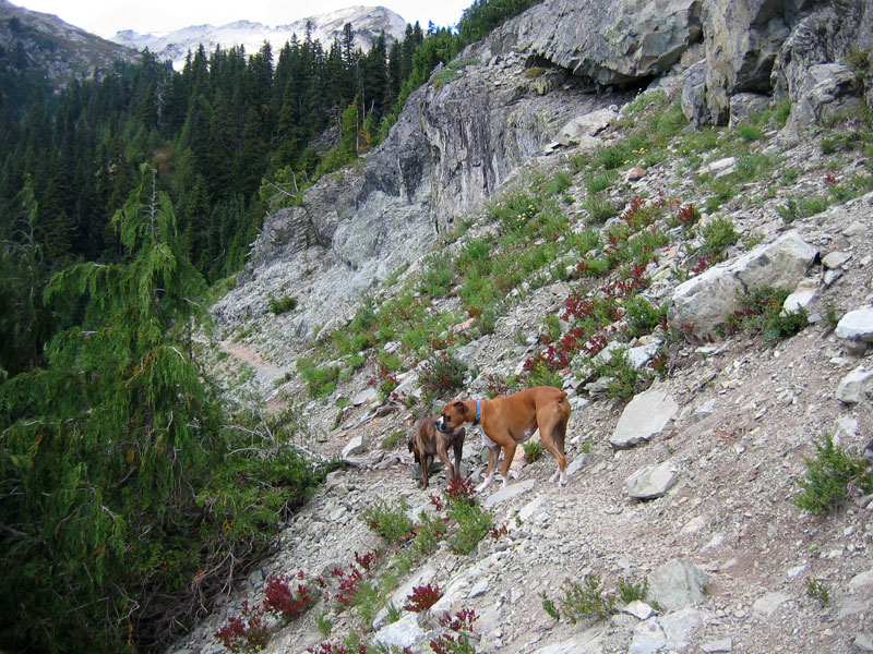
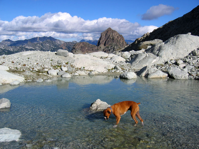
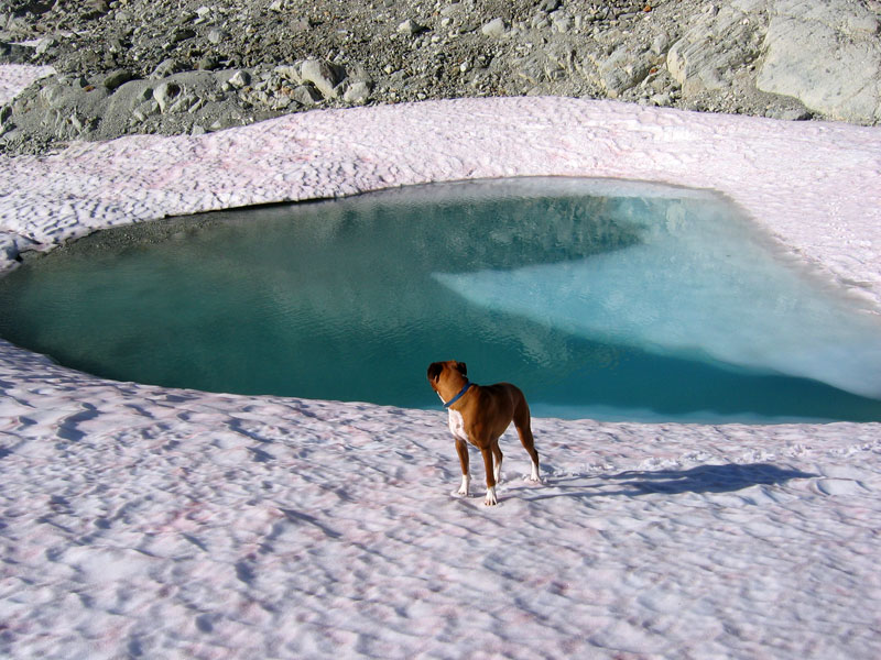
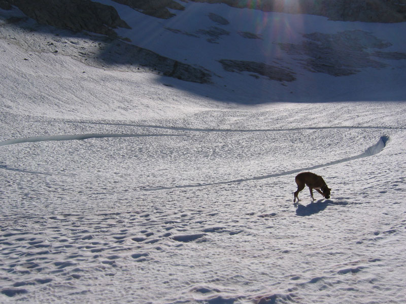
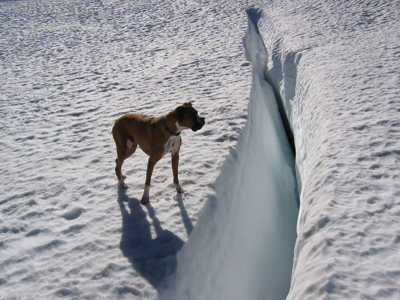
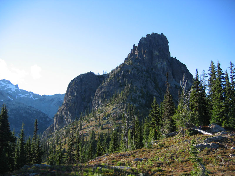
After crossing a couple of creeks the trail started to climb again and became rockier. We topped out on a rock-covered pass and promptly lost the path. Lost in the sense that we didn’t look for the path at all and only noticed a trail heading up a peak off to the right. Well that must be it. After a few switchbacks we turned around to check our progress and spotted a trail heading off the opposite direction, an obvious extension to the trail we had been travelling. The actual summit of the peak we had started to climb didn’t seem too far off, so we opted to continue up anyway. Make it a side trip. We dropped our heavy packs and scampered up to the top.

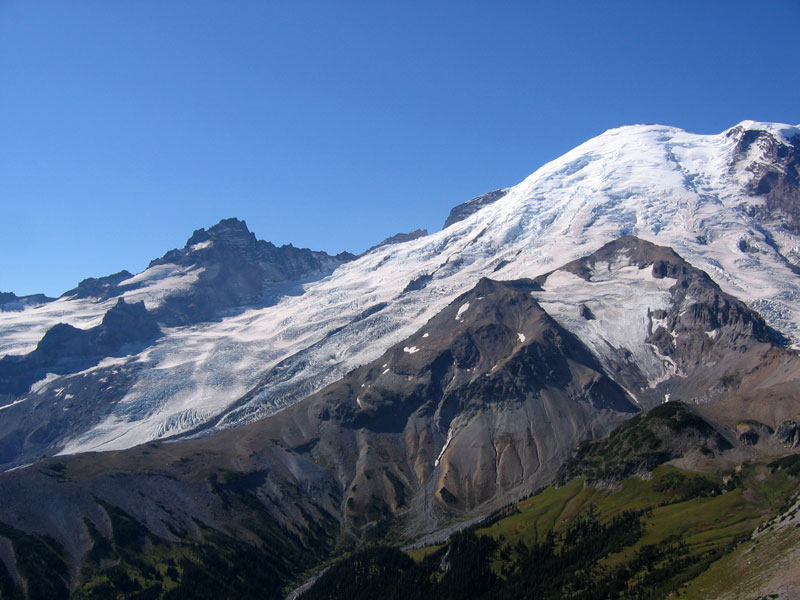
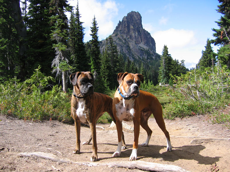
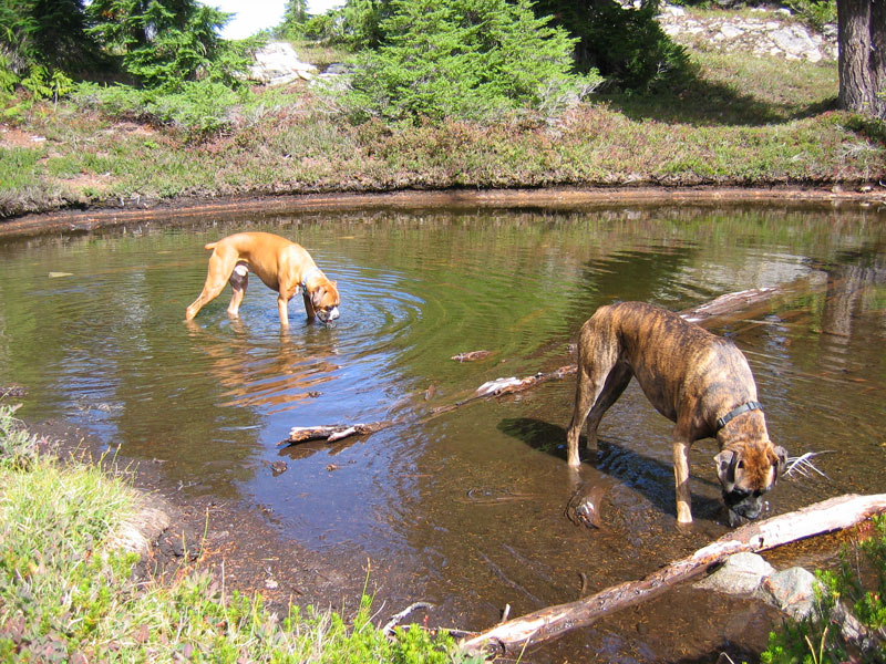
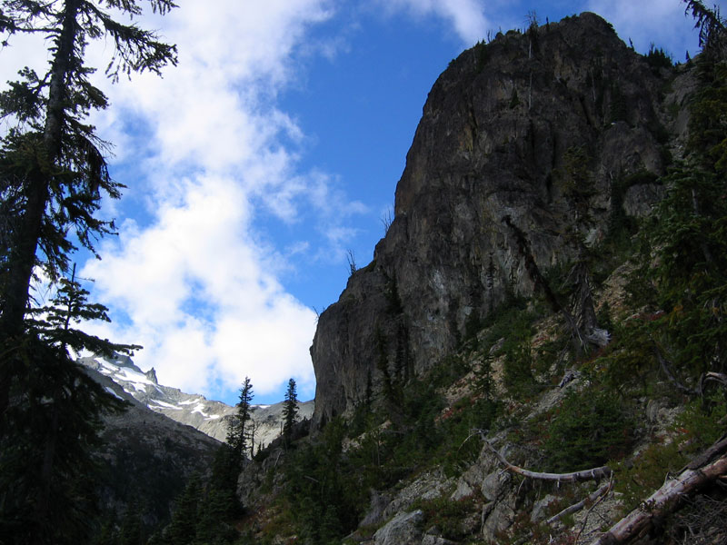
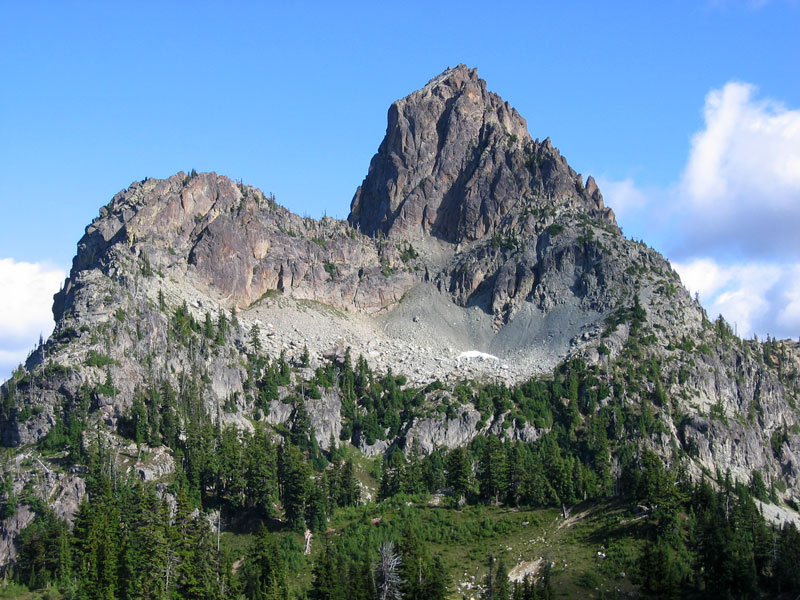
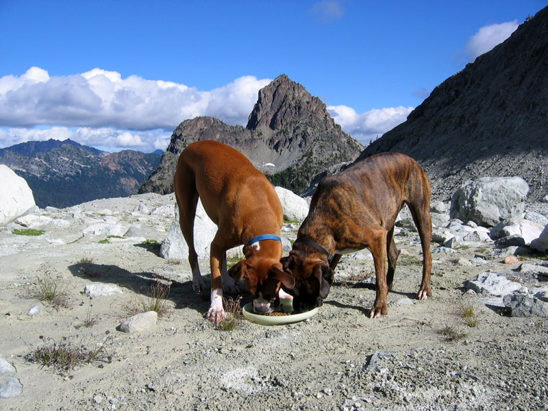
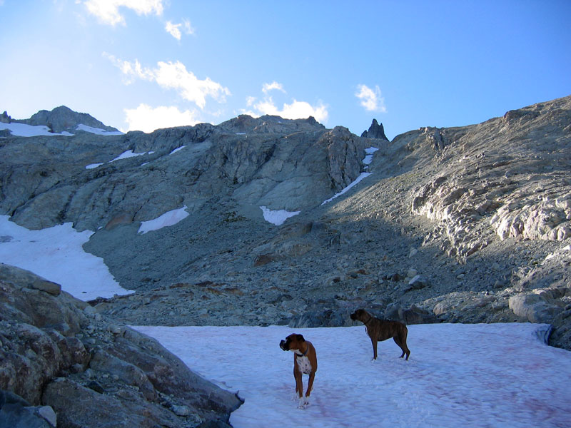
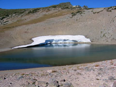
The peak turned out to be Skyscraper Mountain (elevation 7018 ft) and offered up some fine vistas, indeed. We relaxed and soaked in the views for about fifteen minutes then headed back down, retracing our steps. Once on the correct path, we followed four long switchbacks down through the tree canopy, eventually arriving at our shady well-marked campsite at Granite Creek. Here we purified some creek water, set up camp, and jetboiled some cheesy pasta for dinner. Neither of us had any source of artificial light so once the sun set, we talked for a little bit, then called it a night in our respective tents. Sleeping in shorts, a fleece, a hat, and gloves I was plenty warm and slept comfortably. Dan later said that he’d made the mistake of orienting himself with his feet elevated higher than his head and had been too lazy to rotate around and didn’t sleep quite as well.
The next morning we cooked instant oatmeal to warm up and fuel up (five packages each), broke camp, and set off just as the sun started to thread through the trees. Still no real itinerary. We headed back toward Sunrise but with plenty of time to scoop up a side trip if the opportunity presented. Back up the four long switchbacks, out of the trees, and into the sun and a superbly sunny and clear day. Rainier beamed and flocks of black swifts swirled.


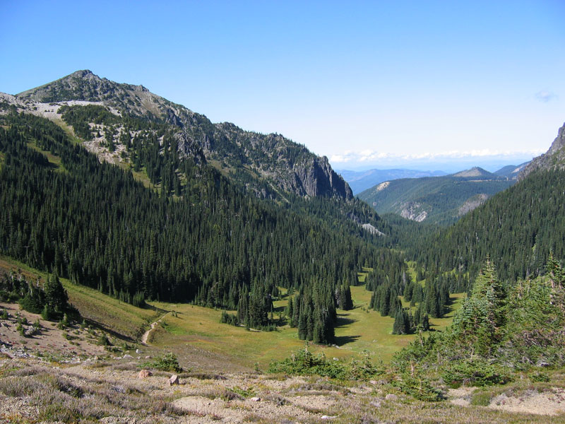
Up and over Skyscraper Pass, into the valley overlooking Berkley Park. Here we ran into a group of three guys gesticulating toward the nearby trees. They said we’d just missed a bear. We waited for a few minutes hoping it would reappear. No luck. Bears everywhere. We kept hiking until we reached the trail junction for Burroughs Mountain near Frozen Lake. We stopped to snack and hydrate. The sign here said 1.5 miles back to Sunrise, but the sun above said “hey it’s not yet noon, lots of day left.” The sign also said “First Burroughs .6 miles” and “Second Burroughs 1.3 miles.” Something was said to the effect of “2.6 miles round trip, we’ll be back in an hour. Easy.” Looking up, Dan was skeptical, but off we went. I had roughly 12 ounces of water left, but figured with a bit of rationing, it was all good.
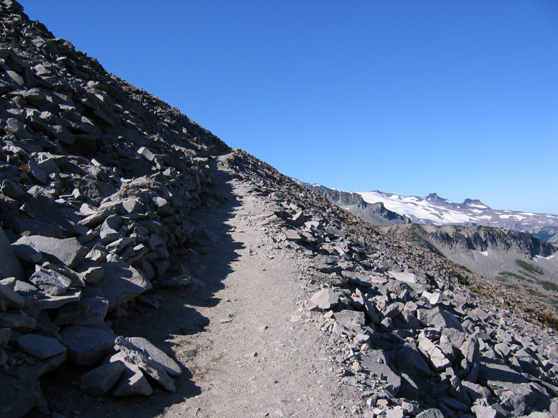
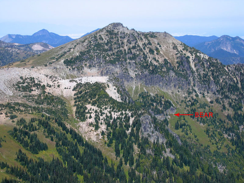
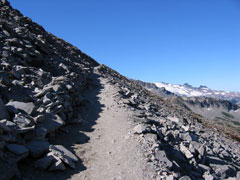
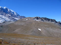
The trail traversed the rocky slopes up toward Mount Rainier, was obviously well-travelled, and topped out initially on a broad round summit (7200 ft elevation). I wrongly assumed this to be a speed bump on the way to First Burroughs and not actually First Burroughs, as it turned out to be. Here I talked with an older guy who was patiently looking through a pair of binoculars. He pointed out a black bear waaaaay down across the valley. Just a tiny black speck. He offered me the use of his binoculars and the bear, ambling up the slope of Skyscraper Mountain, popped into view. Bears everywhere.
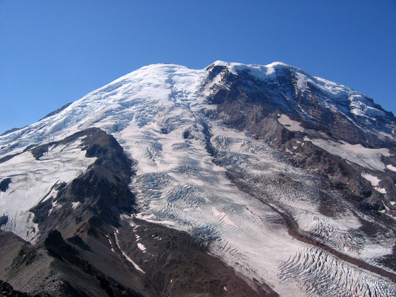
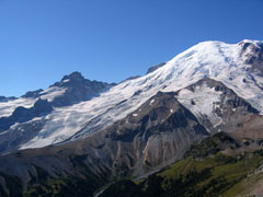
Continuing up the trail brought us several hundred feet higher to the top of Second Burroughs (7400 ft elevation), which I was still wrongly assuming to be First Burroughs, just seemed too quick to have covered 1.3 miles. Superb views of Rainier’s northeast face. Emmons Glacier, Inter Glacier, Little Tahoma, and Steamboat Prow. Ridiculous expanses of peaks in every direction. We sat on chunks of rock, sipping water, watching chipmunks, and listening to foreign accents.
Another round peak loomed off to the west. Even though it seemed to be more than .7 miles away from our current location, I still assumed this was Second Burroughs. With a long drive to Oregon and a couple days of surfing waiting, Dan was ready to call it a day. I acquiesced, but just as we were getting ready to spin 180 and head back down, a gray-haired woman strolled up and loudly began extolling the magnificence of peak to the West. “Oh, you have to go see it. It’s like you’re standing on the glacier. I never miss it.” Then a big fat guy in a glowing neon yellow shirt responded with, “Oh yeah, I never stop here.” He lumbered toward the trail.
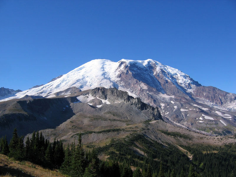
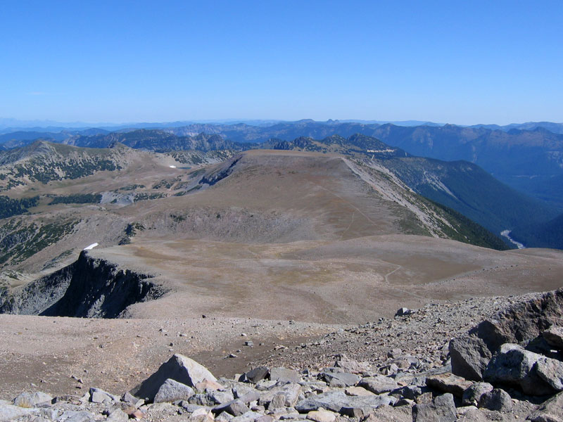
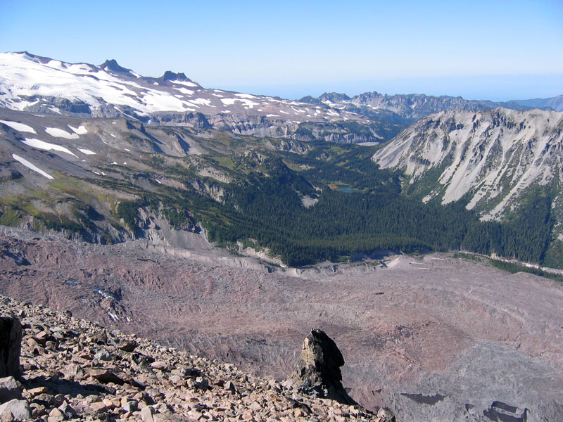
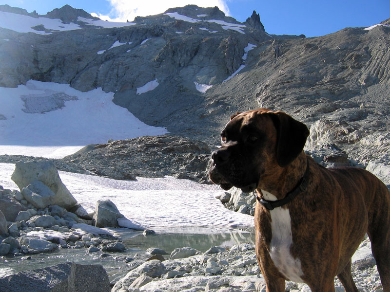
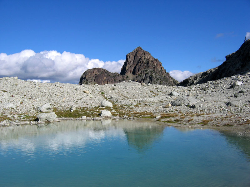
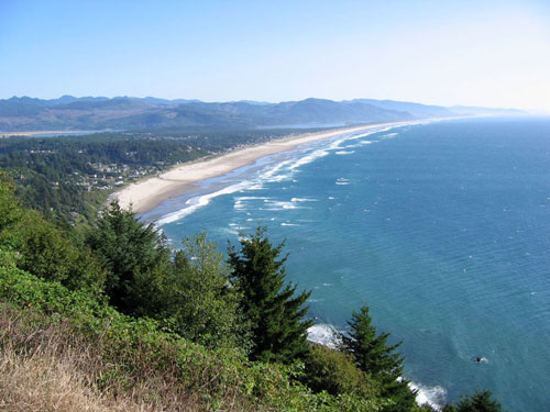
We stood up immediately, zipped past the huffing fat man, and headed toward summit number three. To get to Third Burroughs we dropped down into a sparsely vegetated valley, covered in strawberry-sized lava rock, and headed right back up topping out at elevation 7828 ft. And it was worth it. From the summit you can look down on the glacial moraine of Winthrop Glacier and Mount Rainier itself seems close enough to touch. From our lofty vantage we retraced our weekend’s hike and plotted alternate routes. Top left: looking south at Rainier. Top right: Looking east at Second Burroughs. Bottom left: Looking north at Skyscraper Mountain, we could also see many other prominent peaks in the distance (Baker, Stuart, Shuksan, etc). Bottom right:Looking west at Mystic Lake.
The return hike was a little less exiting and as I read sign posts along the way listing various mileages I finally realized that Third Burroughs was most definitely not Second Burroughs and that our 2.6 mile round trip was not 2.6 miles. All told, it turned into a 9 mile side trip. Easy. We hiked another mile and a half back to the car, refilled water bottles, stripped off soggy socks, and bid farewell to Mount Rainier.
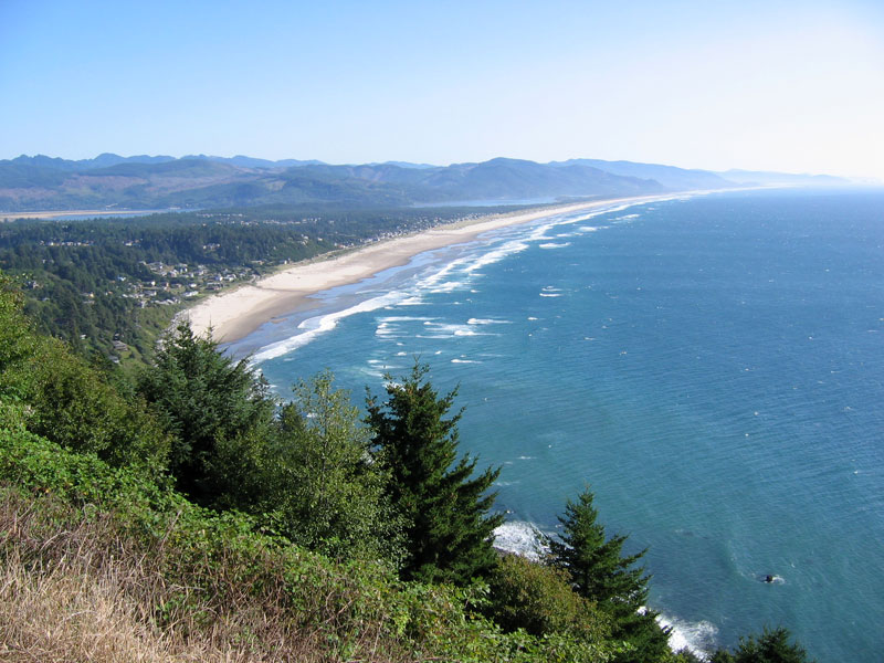
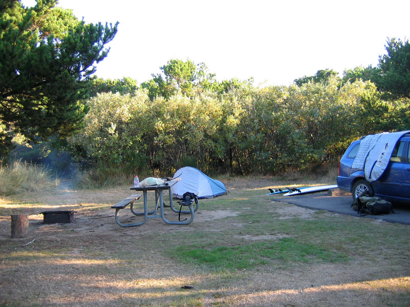
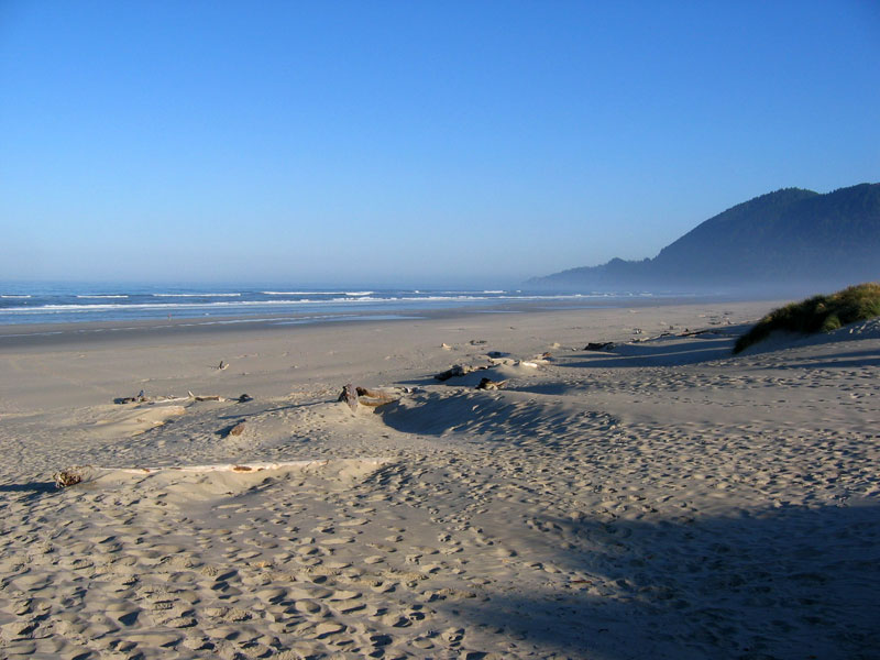
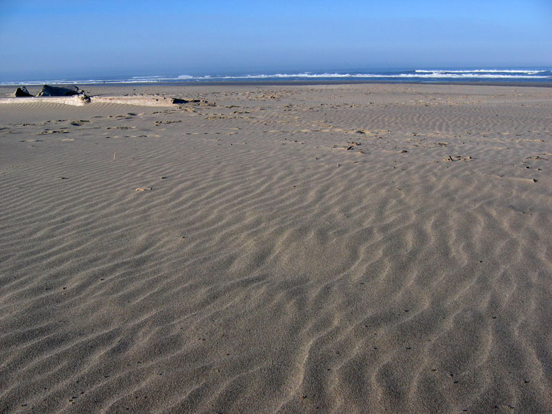
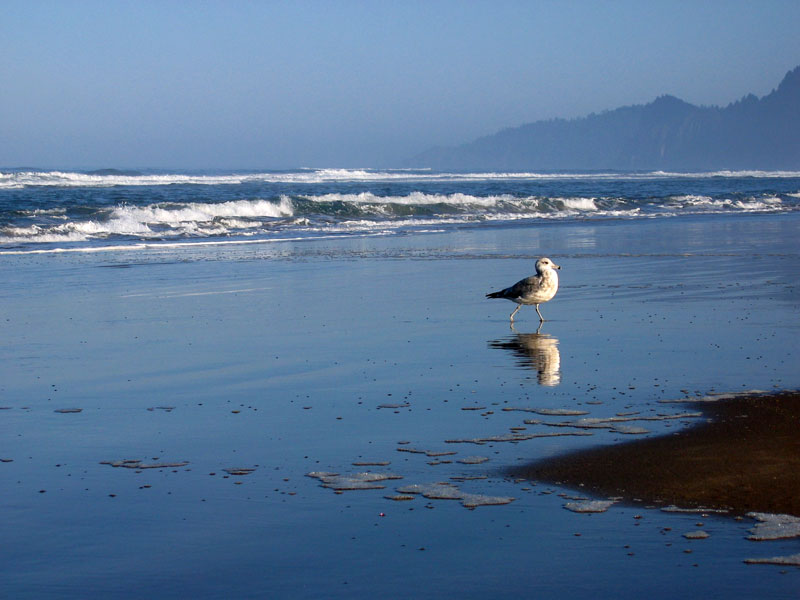
The next day we headed for the Oregon coast, surf board on the roof, flip flops and Frisbees at the ready. Five hours of driving. Highway 12, to I-5, to Highway 30, to Highway 101. More Sour Patch Kids and some sandwiches with far too much dijon mustard. Band of Horses in the CD player. We stopped in Seaside so Dan could rent a board, then followed the coastline toward Oswald West State Park, my go-to easy surf spot. Oswald West was a mad house. Cars overflowing the overflow parking lot. It was late afternoon and I didn’t want to run around trying to find another beach, so we changed into wetsuits and carried our boards down to the cove. The beach wasn’t as busy as I thought it was going to be, but the waves were dead. Lake Michigan July afternoon dead. We stood for about three minutes sweating in our wetsuits and watching the crowd bobbing in the tame surf. We decided to find a campsite at Nehalem Bay State Park and surf from the state park. Sweating in our wetsuits, we huffed back up to the car. Sweating, we drove south to Nehalem. Sweat dripping from the neoprene around our ankles, we located a campsite and paid the ranger at the gate. Sweating, we parked the car and ran down to beach. Boards waxed. Boots on, gloves on. Ocean.
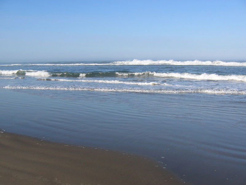
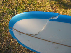
Nehalem Bay State Park reminded me a bit of surfing at Lake Michigan. Beach break over a sandbar, nothing real consistent, certainly not glassy. It was surprisingly very fun though. We paddled out to a large sandbar and then past and caught the surf as it rolled up into the shallows. Unlike Lake Michigan though, the ocean, as usual, brought some clout. Where Oswald West had been sheltered and calm, here we had head-high waves. Fun rides, fun wipeouts. One of those tumbles took me end over end and I popped up laughing and covering my head, hoping not to get smacked by my flailing board. No head injuries, but when I paddled over to my board I found a huge rip across the nose. Crap. I paddled to shore to inspect the damage and found a square foot chunk ready to fall off, broken stringer and all. So much for that. Dan came in a little later, having seen the wipeout but not knowing what had happened. He offered to share the rental, but I was a little jumpy from having just wrecked my board, and not wanting to mess up another, decided to go swimming instead. So Dan surfed for a while longer while I goofed around in the whitewater as the sun dropped.
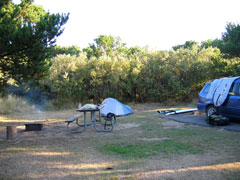
For dinner we made a run up to Manzanita and grabbed brats from a grocery store. Back in camp we gathered firewood, built a fire, and impatiently charred the brats on the ends of improvised skewers. Then we fire-watched until the rest of the campground had turned in for the night.
The next day we finished the brats for breakfast then tossed a Frisbee on the beach and played an obstacle-filled game of Frisbee golf. Ok, under that log from the back side, then around the left side of the far stump, and then back to the stick. Rules made on the fly, Calvinball-style.
Dan wanted to be in Portland for his flight by about 1:45, so we returned his rental board and headed east a little after noon. Arrived at PDX just about spot on 1:45, then I made the long trek back to Yakima. Very thorough weekend. More pics here (click).