Old dogs are expensive. Mary took Nora to the vet this week to get an ear hematoma (another one!) drained and stitched. While there, she asked about some weird looking lumps on Nora, which turned out to be cancerous. So the vet lopped those off while Nora was knocked out anyway and a thousand dollars later Nora has some new ragged scars and a ridiculous cone collar to show for it. And hopefully no cancer for the moment.
Mon 2 Sep 13
Catching up on some outdoorsy photos from the past few weeks.
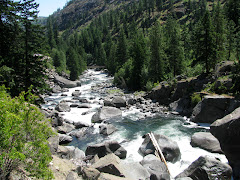
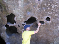
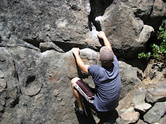
Day trip up to Leavenworth for bouldering and hiking. These photos are from the Mad Meadows area. We also stopped in town for the requisite Bavarian bratwurst.
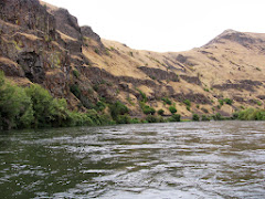
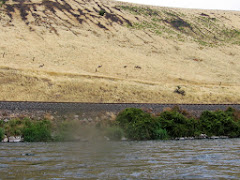
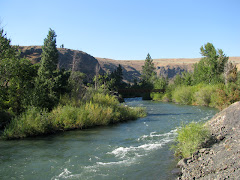
Kayaking the Yakima River canyon. Second time out in the whitewater kayaks and it turned into a 17 mile paddle. Basically just Class 1 rapids at best, but still lots of fun. Cloudy day that turned blue-skied and sunny later (after my sacrificial beater camera was sufficiently waterlogged to refuse to take photos). Big horn sheep in the last photo.
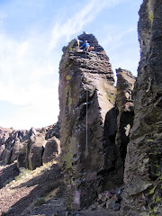
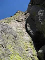
Rock climbing at Feathers near Vantage. Just a quick couple hours. Didn’t feel great (my broken shoulder has been bothering me a lot lately and I was still feeling the 17-mile paddle from a couple days before), but it was nice to get back on rock after over a month away. Climbed Jesus Saves (5.8), Blood Blister (5.10a), and Alter of Sacrifice (5.7). First photo is Blood Blister roped up (not me pictured).
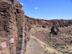
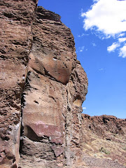
And rock climbing at Royal Columns. Took my friend’s young sons rock climbing on some kid-friendly routes then finished up the day with a couple more interesting climbs. Climbed Western Front (5.3), Good Timer (5.4), Slacker (5.4), X-Factor (5.8), and Orange Sunshine (5.10b). Orange Sunshine was definitely a highlight. Felt good to bang out a 10b after struggling at Vantage a few days earlier. Also took a peak at the flow conditions on the Tieton River with the fall water release starting already. Looked zippy and fun, but probably well beyond my meager kayaking skills. Maybe next year.
Sat 24 Aug 13
The newest additions to our summer fun options, courtesy of Craigslist. I bought the Dagger Super Ego a couple months ago and finally used it for the first time last weekend for a couple hours of paddling the Yakima River canyon. And then picked up the Jackson 4 Fun this afternoon from a guy in Wenatchee. They’re both older and fairly beat up, but for whitewater kayaks that are going to be crunching on rocks anyway, it’s nice not to pay for pristine plastic.
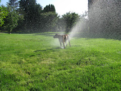
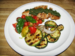
Summer should be hanging around for another month or so, so hopefully we’ll get a little use out of the kayaks still this year. It mostly feels like summer around here, though there are hints of fall on the way. Cooler nights, a shrinking garden, and a few leaves starting to brown on the trees. The dogs are still playing in the sprinklers though and we’ve been eating like summer (everything pictured below except the chicken is from our garden).
Sun 18 Aug 13
Great weekend! A whirlwind with lots of driving and 46 miles of beautiful mountainous hiking over two days. Can you guess where these videos were shot?
Sat 10 Aug 13
Okay, fine, here are some (a million!) photos from my Chikamin hike a couple weekends back. Chikamin Peak is a 7,000 ft mountain that I look up at any time I’m working in the Gold Creek valley for work (which is often). It’s a steep, impressive-looking south face viewed from Gold Creek, but has a more manageable approach from the east via the Mineral Creek trailhead. In this case manageable meaning only 7 miles and 5,000 feet up, but “oh, you’re going to be walking through chest high vegetation for about half of the first five miles”
I arrived at the Mineral Creek trailhead at about 4:30 on Friday afternoon after working a half day, with the intention of moving quickly, stopping somewhere above the treeline for the night, and climbing Chikamin on Saturday morning. I left my tent in the car and packed just enough food for a day and quickly was trotting up the trail.
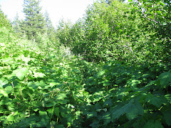
The trail roughly followed Mineral Creek on a reasonably pleasant wooded footpath up until the second creek crossing (below left) at which point it transitioned to the aforementioned chest-high vegetation (below right) Thimbleberries and ferns clawing at my exposed ankles and shins and hidden boulders and spears of cut brush tripping and impaling. Not great.
A couple miles of this while hiking uphill in the heat and I was vowing never to return. But once out of the brush the world was right again. I met a couple sets of hikers either headed to or stopped at Park Lake (below right), but otherwise had the trail to myself.
Above Park Lake, the Mineral Creek trail met up with the Pacific Crest Trail and trail conditions improved.
I followed the PCT for about half an hour before jumping off trail and cutting cross-country toward Glacier Lake. This gave me my first views of Chikamin Peak and Glacier Lake in the dwindling daylight. I briefly considered stopping for the day from this vantage point, hoping the wind would keep the mosquitoes at bay, but I didn’t really have anything else to do and with a little daylight left figured I might just as well keep exploring.
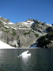
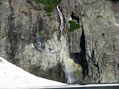
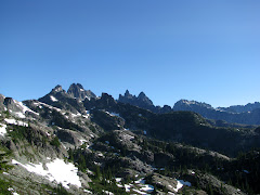
So I skittered down to Glacier Lake. Even in the near dark, the views there were just beautiful, the kind of spot that would rival anything in the Alpine Lakes Wilderness. Glacial blue water dotted with mini icebergs, towering cliffs, steep waterfalls, and a backdrop of jagged peaks.
Also, lots of mosquitoes. Without a tent, there wasn’t any way I could spend a night there, so I purified a couple bottles of water and headed further up the mountain. No particular destination, but I figured I’d get high enough at some point that the wind would knock the mosquitoes down.
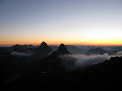
So I kept going as the sun dropped and reached Chikamin Ridge, the main ridge below the summit horn, just in time to watch the red-yellow horizon fade to dark.
I stood on the ridge for about fifteen minutes, enthralled by the color-show, before continuing up to look for a camping spot in the dark. Every couple hundred feet up the ridge I’d poke around in the rocks for a level, sheltered spot, until finally I just accepted what I had probably subconsciously decided hours ago, that I was going to go ahead and scramble the last couple hundred vertical feet up to the summit in the dark and sleep on top.
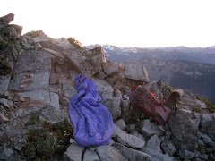
The summit scramble was fairly straightforward, with just one short section of actual climbing, though in the dark on loose scree it was probably a little trickier than normal. I topped out at 9:45, threw a couple more layers on, and found the least pointy patch of rocks I could to lay out my sleeping bag.
I slept horribly. Beautiful clear night, but chilly enough to force me into a ball in my sleeping bag and I woke up frequently shivering. Also woke up to a full moon shining in my eyes. And multiple times to adjust to pointy rocks in my rib cage. And multiple times to something walking around my site. And multiple times to the sound of something chewing. And once to something standing on my head. And once to the sound of sliding rock (not my favorite sound to hear when sleeping on a mountain), that when I woke in the morning turned out to be the rock that I used to keep my dirty socks from blowing away in the nights, now dislodged with said sock missing. My other sock was half-eaten as well.
I woke up for good at 4:30 and waited for the sun to come up.
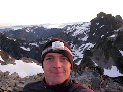
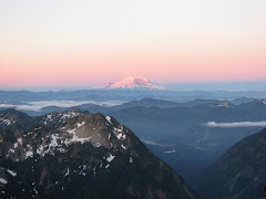
Still, in spite of the short night, I was giddy to be waking up on top of a mountain to a sunrise on Mount Rainier and other Cascade peaks.
I ate my breakfast of M&Ms, a half bagel, and Gatorade and watched the sun work its way into the Glacier Lake basin, then packed up and headed for home.
Here’s the short section of climbing that I went up in the dark and a view up at the summit horn.
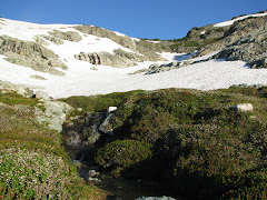
Shots from the snowfield on the way down.
Just a big open playground all to myself. Lots of fun scrambling and boulders to play on.
I was hoping to get some nice morning daylight photos in the Glacier Lake basin and I timed the descent just about right to watch the shadows disappear from the water.
Spectacle Lake with Mount Stuart in the distance and a final look back toward Glacier Basin with Mount Lemah in the distance.

