Here’s a video I took from the top of Mt St Helens last month:
Mon 10 Nov 14
Rainy but very mild autumn so far this year. Most of our yard trees are just now starting to lose their leaves and we haven’t had a frost yet. I was still harvesting tomatoes, basil, and beets from the garden a couple days ago.


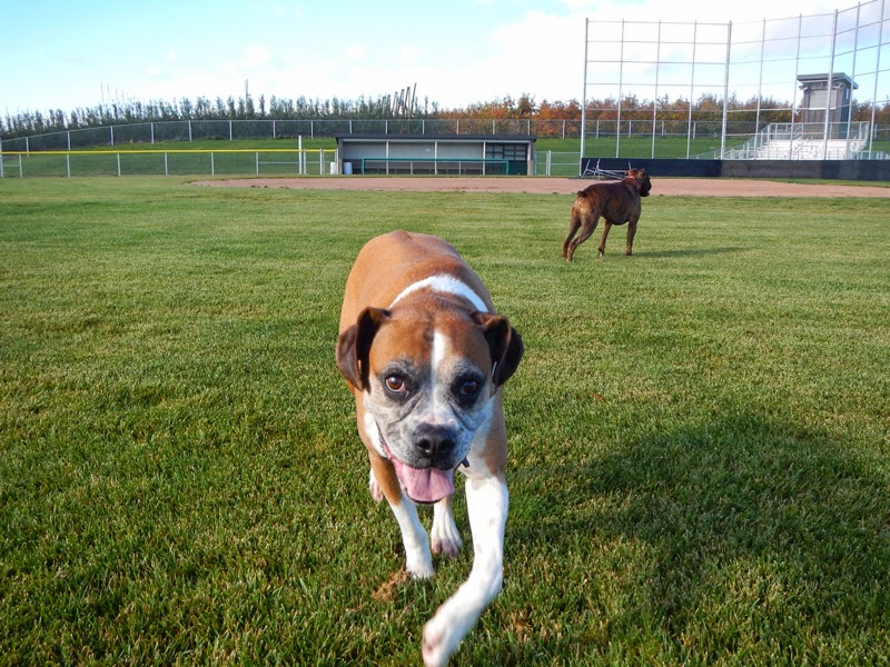
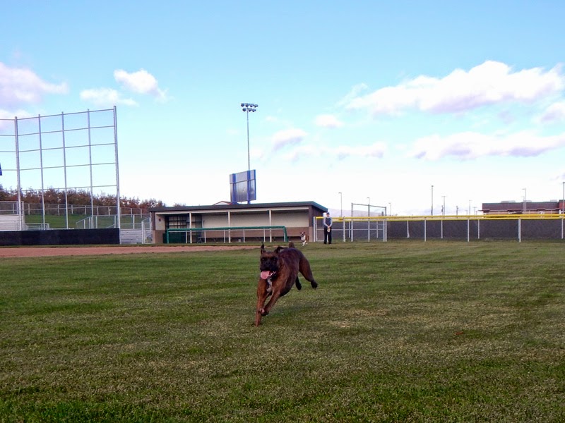
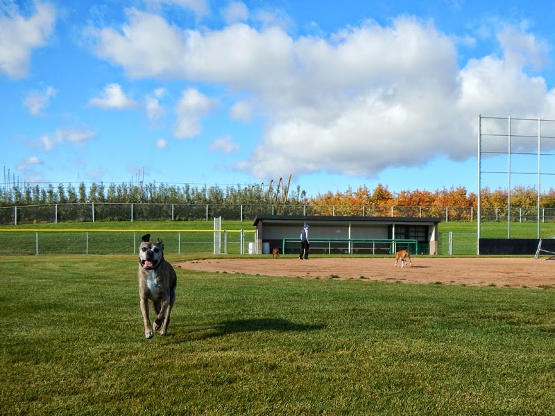
Looks like that’s changing tonight though with a big cold front that’s hitting us along with the rest of the country this week. Mary and I got out with the dogs yesterday to take advantage of the sunny skies before the cold.

Sat 8 Nov 14
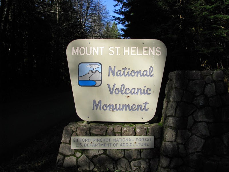
Mount St Helens! Really, really enjoyable climb up to the crater rim via Monitor Ridge yesterday. 8.7 miles and 4,700 feet of elevation roundtrip. 2:45 up, moving steadily – with a half hour delay to deal with an ice field. 1:20 down, running about half.

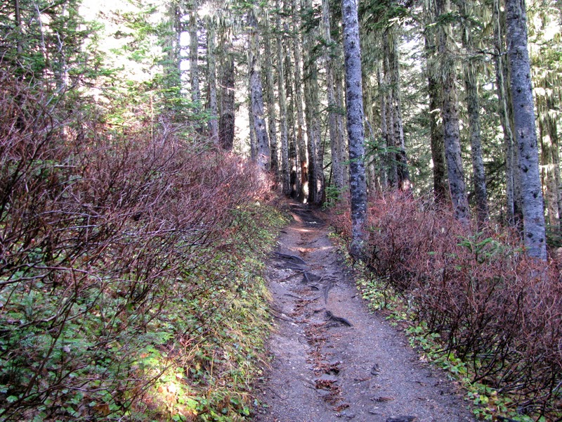
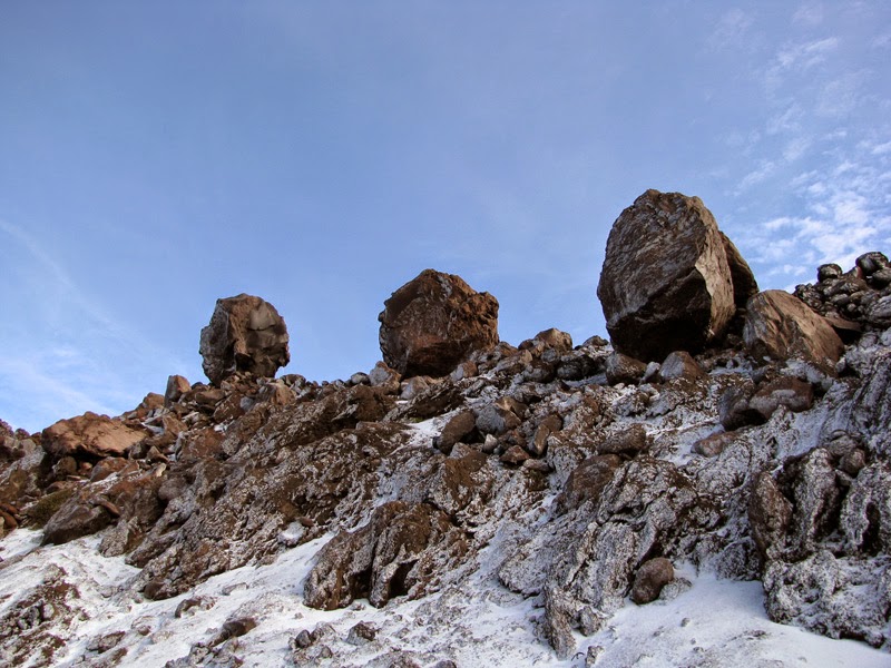
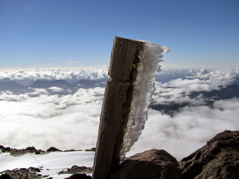
The hike starts in the trees and follows an easy trail for the first two miles, then pops out to a lengthy boulder field with the path marked by wooden posts propped into the rocks

I was in a cloud layer until about 6,000 feet. Warm enough to be sweating in shorts and two light top layers, but the air moisture immediately chilled the sweat. My shoulders were covered in tiny tendrils of ice and the ash/pebble footing was nicely frozen in place (rather than puffing up into my boots). First clear view up the mountain above the clouds.


Frozen boulders along the trail. Looking back into the clouds.

Getting closer, footprints in the snow in front of me. I passed a small group a little bit after this photo and had clean snow the rest of the way. Wind-blown ice.

400 feet below the crater rim I ran into a sheet of ice on the ridge. A thick sheet that wasn’t budging as I tried to kick steps. Earlier, while packing, I’d opted not to bother bringing my crampons. Dumb. Not good. I tried a few different lines up the ridge, all frozen solid and shedding my attempts to move up.
I sat down on the ice and considered my options. I could turn around. I could wait for the group behind me and hope that they had crampons that broke the ice enough for me to follow their steps up. I could sit and wait for the sun to hopefully soften the ice. Or I could painstakingly chop lateral steps in the ice with my axe and try to find softer snow off of the ridge and have an adventure. That’s the one, let’s go!
Photo below left: Ice in the foreground and Mt Hood in the distance. Right: looking laterally, hoping to find softer snow over there somewhere.


So I chopped and kicked my way to the left, finding more ice and then encouragingly a few sections of softer snow. I carefully wound my way upward (quads cramping and toes aching from the kicking) then I was there, cresting to an immediately expansive view.
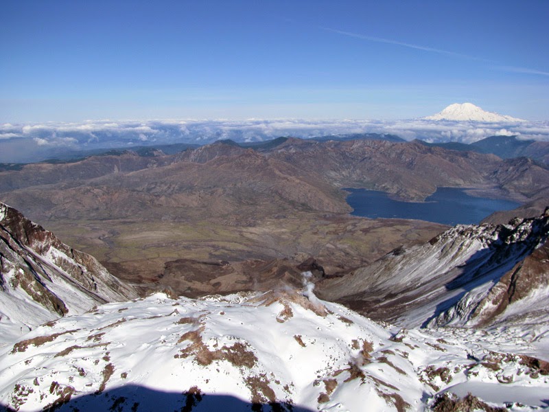
Snow pack on the rim. Looking north into the crater and toward Spirit Lake and Mt Rainier. You can see the plumes coming off the inner lava dome. Active volcano!
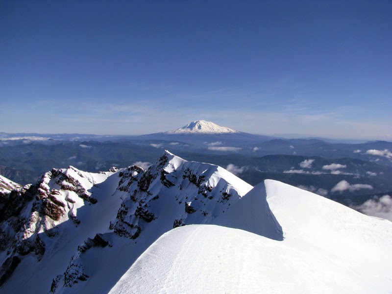
Mt Adams. Mt Hood and people following my steps.

Another look at the lava dome. And side view of the crater, big drop, don’t want to fall in that direction.


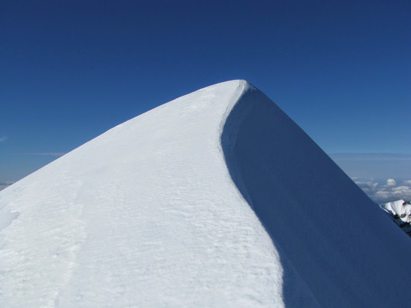
This was my high point for the day, a couple feet under 8,300, I think the true current high point (8,366) is the peak in the photo on the left. I had no interest in skittering across the ice along the ridge to find out though.


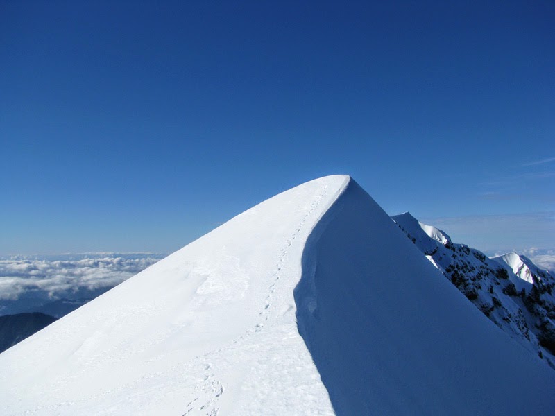
I spent about an hour on the rim, then retraced my steps back down the mountain. Here are my footprints on the rim and a side shot of the snowslope.

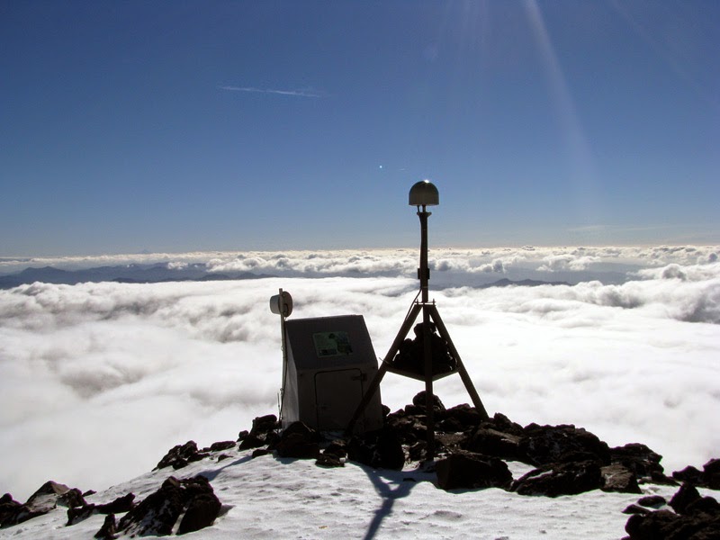
And a couple more shots from the way down. Observation station. Slope boulders with Mt Adams behind. Great day!

Tue 28 Oct 14
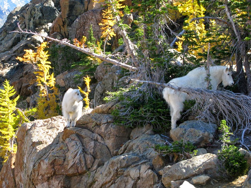
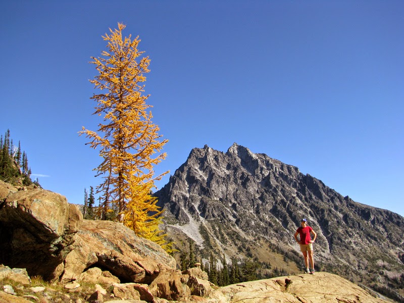
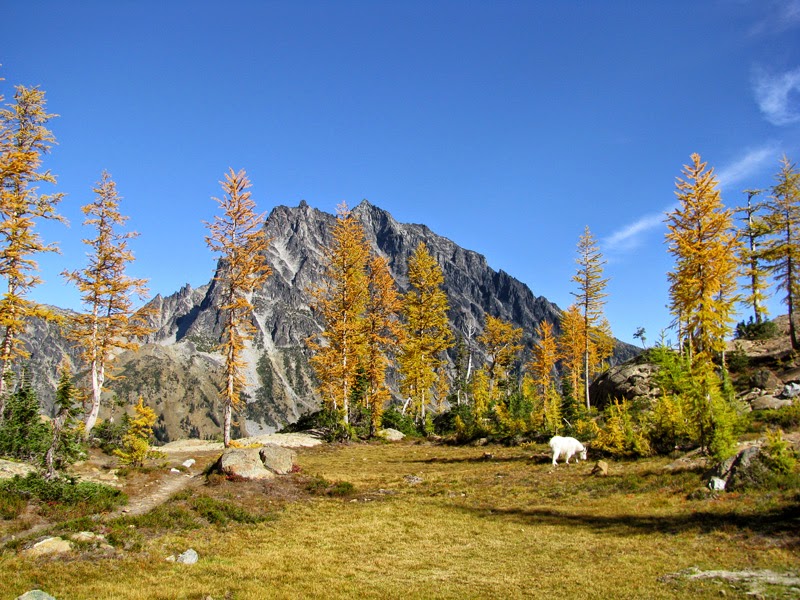
Ingalls Lake outing with Mary a couple weekends ago. Approximately 9 miles and 2,500 ft of elevation gain roundtrip. Beautiful weather, great scenery, and fun wildlife all day.

Mountain goats up close.

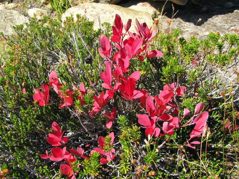
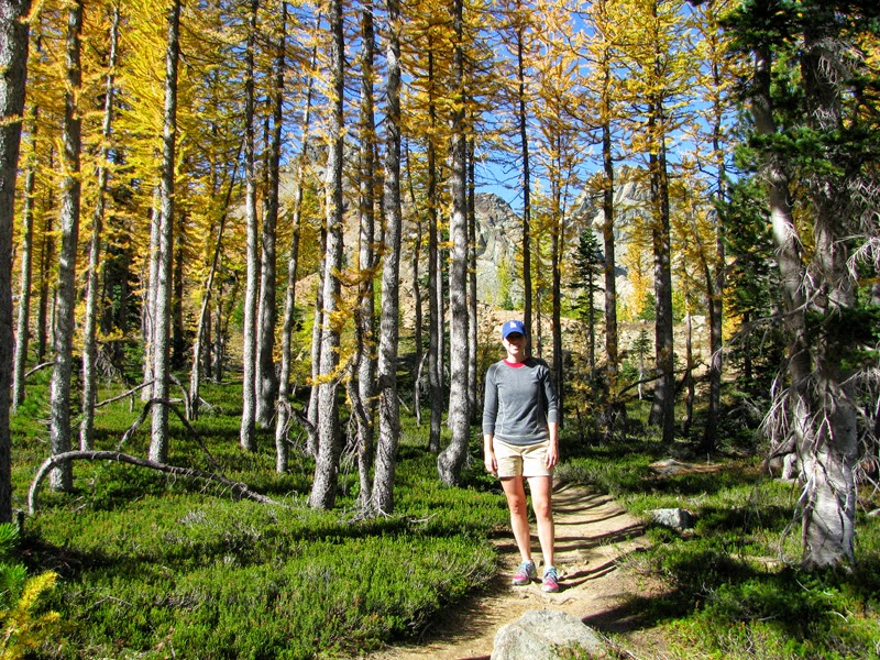
Larches not quite in their full yellow autumn glory yet (nature’s last gold is green?). A ptarmigan taking flight in front of Mt Stuart.
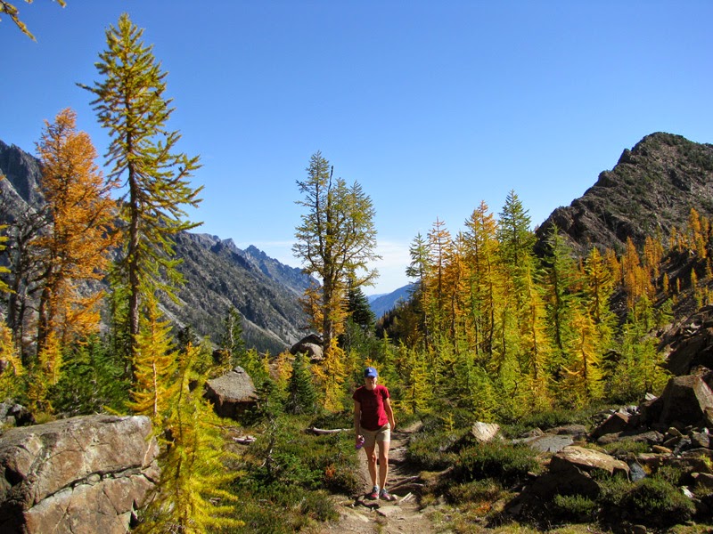

Mary losing a height contest to a larch. Looking back from where we came at larches dotting the landscape.

Marmot. Huckleberry.

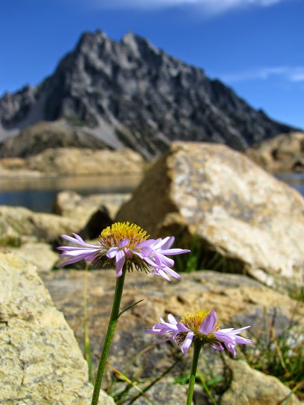
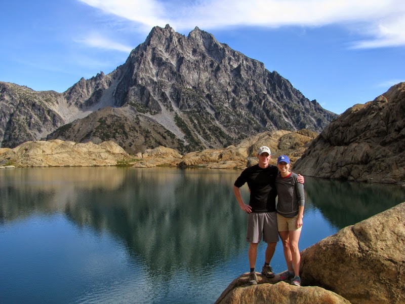
Ingalls Lake and Mt Stuart. Aster.

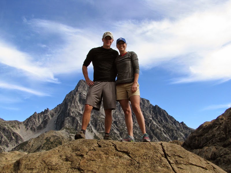
Us.
Mary coming back down the trail.


Mountain goat in the larches. Mary in the larches.
Fri 26 Sep 14
This post has been sitting in my draft folder for a month! Life is busy. Anyway, better late than never…
Jordan flew up for a long weekend a couple weekends ago and we ran around the mountains. Namely, the North Cascades.
Day 1:
When we left Yakima I had some ideas of overnight hike options. Armed and ready with printed topo maps and possible destinations. But four hours later as we talked with the ranger charged with permitting our adventure, for some reason we scrapped those plans and picked a totally different trail – to Terror Basin. Probably because the name was awesome.
We had a little difficulty finding the Goodell Creek trailhead (which would lead us to Terror) and weren’t boots-on-the-ground until close to 5 pm, seemingly destined for another race against darkness. We coasted through the first hour on a well-traveled gently sloping trail, but about 3.5 miles in we found ourselves pseudo-bushwhacking in the fading light on steeper slopes trying to follow an occasional orange flag helpfully hung in the approximate direction we needed to head.
We reached Terror Creek just before sunset and promptly lost any sign of the scrap of trail we’d been following. We knew were were supposed to climb a steep ridge at some point after reaching Terror Creek, but now looking straight up the adjacent walls, the prospect of bushwhacking seemed daunting and unpleasant. I floated the idea of maybe hiking back out the way we’d come from in the morning and hiking the Cascade Pass trail instead. It seemed a shame to turn around but it’d also be a shame for Jordan to fly up and spend a miserable day clawing through vine maple and devil’s club without any guarantee of a payoff.
We set up our tent on the only flatish spot we could find near the river and hoped the decision would be clear in the morning.
Day 2:


In the morning we woke to clear skies and glimpses of the southern Pickets in the distance. Still far, far away if we couldn’t locate a trail. We packed up, ready to head back to the car, but as we walked back down the river bank I spotted something on the far side that at least hinted at being traveled before. I checked it out. Hmm, it goes straight up hill and has definitely been people-walked before. Let’s go!
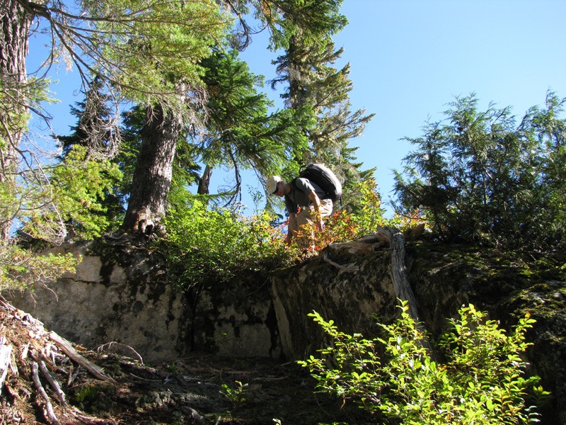
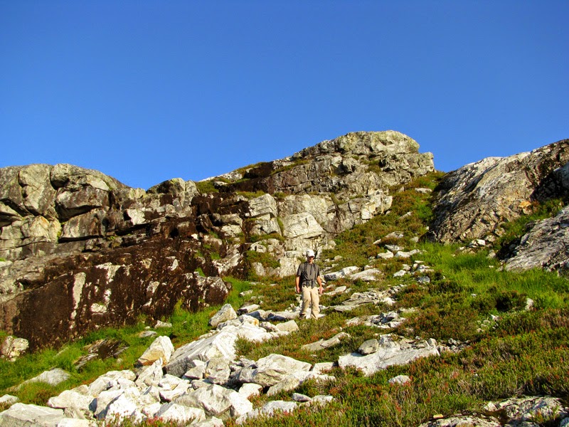
We clawed upward (vertical crawling at times) and, thankfully, the trail for the most part remained obvious until we reached the top of the ridge. In the half mile from Terror Creek to the ridge we climbed 1,700 vertical feet. On the ridge we turned north into a mix of bushwhacking, game trails, and people trails. And finally sporadic breaks in the treeline. Here’s a garter snake on the trail, some tree-gap views, and Jordan negotiating the “trail”.


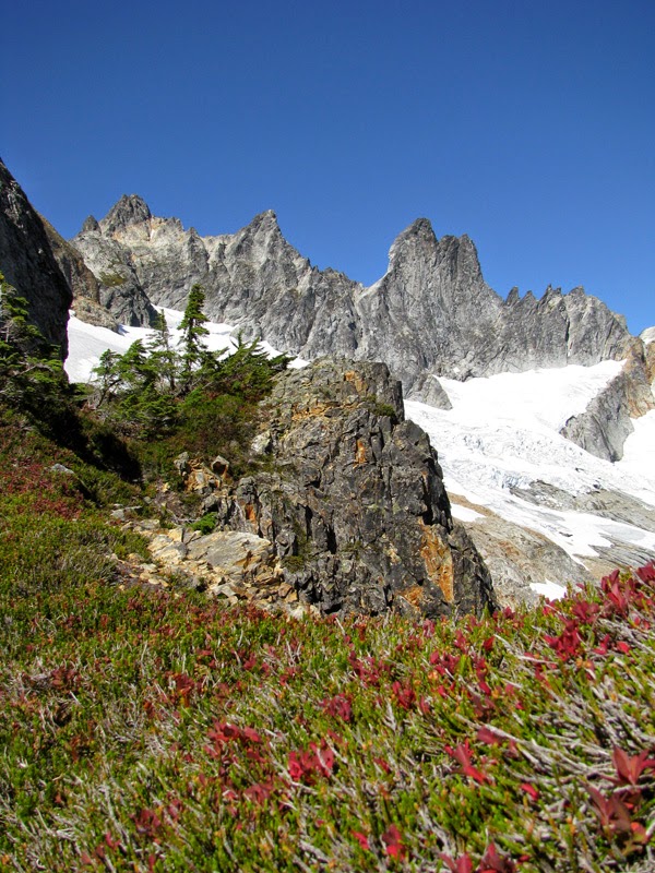
We were treated to copious blueberries and huckleberries at easy picking level for most of the ridge. And a few signs of bears, but only signs, nothing more exciting. We broke through the trees for good at about 5,200 ft elevation. We rewarded our hard work with lunch on a rock enjoying the views. Berries. Jordan checking out Mt Despair. Pinnacle Peak. The barrier.


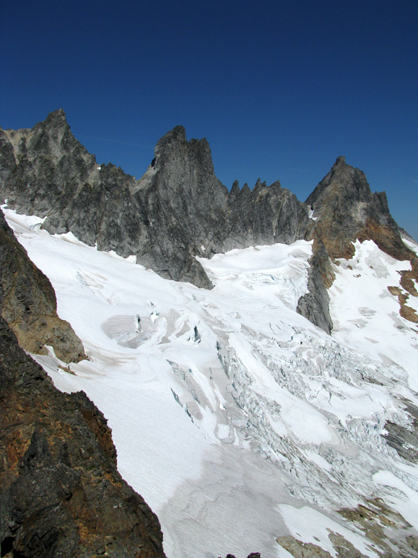
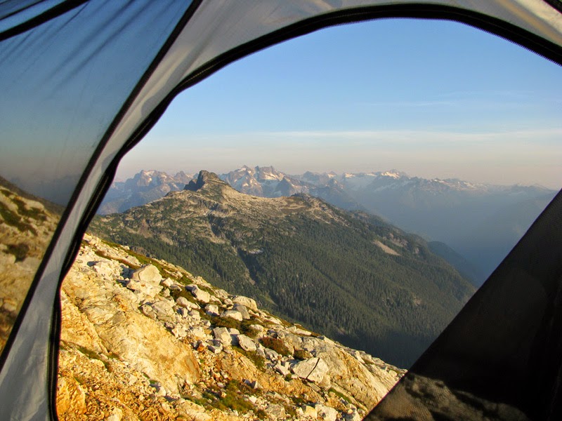
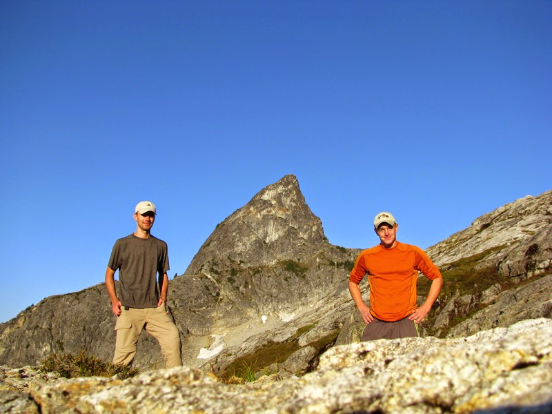
We continued up, hoping to locate a water source (presumably snow melt) and a suitable camp spot, and crested to massive views of Terror Basin and the Southern Pickets. Pinnacle Peak. Jordan in front of the Southern Pickets (Mt Degenhardt, Inspiration Peak, McMillan Spires).


I kept climbing up The Barrier, topping out at 7,119 ft, while Jordan located snow. Some shots from my high point on The Barrier. Mt Terror. View up the rest of The Barrier. Terror Glacier. View back down Goodell Creek (long way back to the car!).


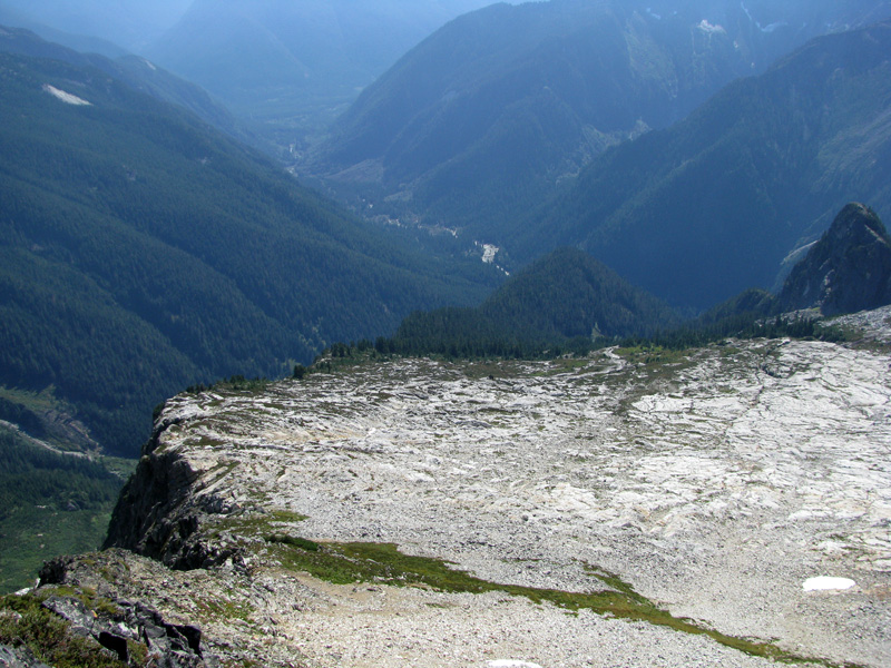
Looking down Crescent Creek Basin, with Mt Baker and Mt Shuksan in the distance. Me on top of The Barrier.


After the scramble up The Barrier I was thoroughly out of water and happy to find a few snow-melt trickles ribboning through the rocks.


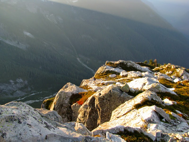
Stopped for a few more views on the way back down to find Jordan.

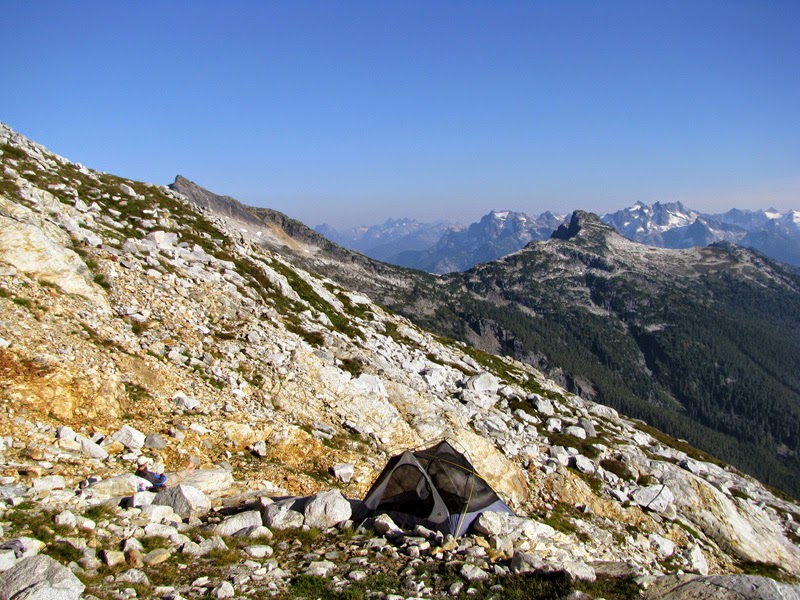
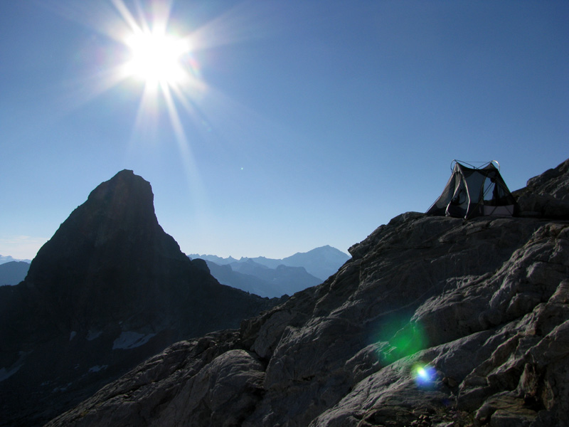
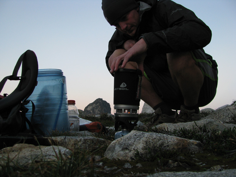
Jordan had found snow next to a nice spot to camp. We relaxed the rest of the day, enjoying the views, cooking dinner, and letting clothes dry out.

Day 3:
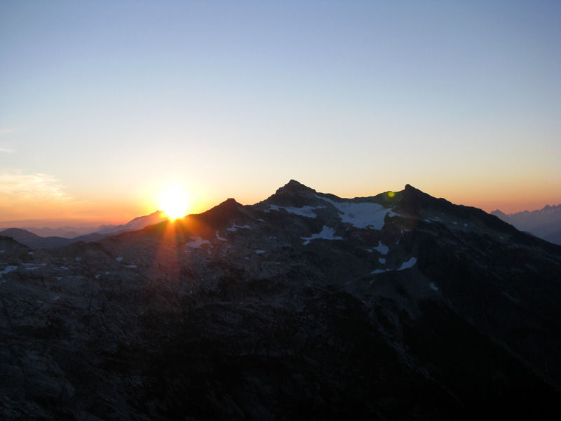
Sunrise.


We cooked breakfast, took morning photos, and then headed down.

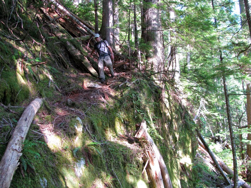
Back into the woods. Jordan negotiating the super steep trail.
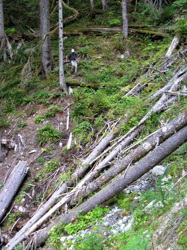
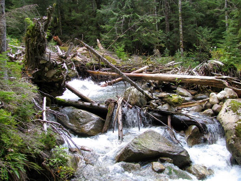
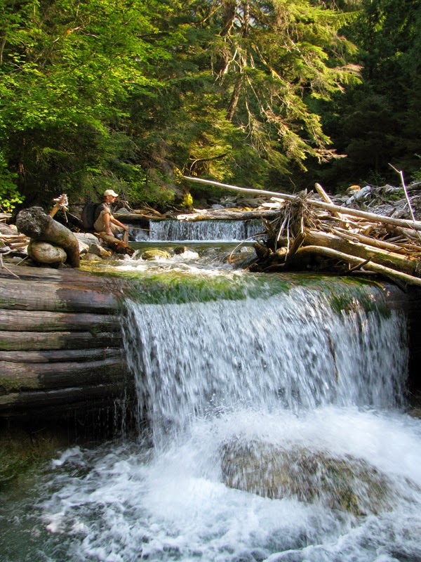
Creek crossing at Terror Creek. Left photo is the log jam we crossed on the way up and right photo is the route we waded on the way back (Jordan getting ready to cross, don’t slip!).
Another half mile past Terror Creek we were finally back on a normal trail. My legs at the end of the hike, ravaged by the bushwhack. Great trip!

